| Gravel Hills | |
|---|---|
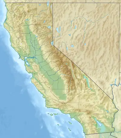 Location of the Gravel Hills in California[1] | |
| Highest point | |
| Elevation | 965 m (3,166 ft) |
| Geography | |
| Country | United States |
| State | California |
| Region | Mojave Desert |
| District | San Bernardino County |
| Range coordinates | 35°11′24.895″N 117°20′37.185″W / 35.19024861°N 117.34366250°W |
| Topo map | USGS Bird Spring |
The Gravel Hills are a low mountain range in the central Mojave Desert, in northwestern San Bernardino County, California.[1]
They are located northeast of Barstow, and northeast of Kramer Junction. A portion of the Gravel Hills are Bureau of Land Management property, but the majority of the land is privately owned.
References
- 1 2 "Gravel Hills". Geographic Names Information System. United States Geological Survey, United States Department of the Interior. Retrieved 2009-05-04.
This article is issued from Wikipedia. The text is licensed under Creative Commons - Attribution - Sharealike. Additional terms may apply for the media files.