| Grayson Lake | |
|---|---|
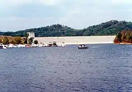 Lake and Dam | |
 Grayson Lake | |
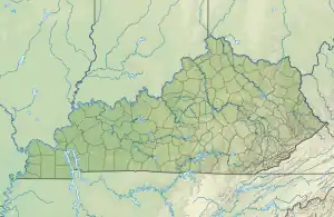
| Location | Carter / Elliott counties, Kentucky, United States |
| Coordinates | 38°15′5.5″N 82°59′1.88″W / 38.251528°N 82.9838556°W |
| Type | artificial lake |
| Primary inflows | Little Sandy River |
| Primary outflows | Little Sandy River |
| Basin countries | United States |
| Surface area | 1,500 acres (6.1 km2) |
| Max. depth | 60 ft (18 m)[1] |
| Water volume | 118,990 acre⋅ft (0.14677 km3) Max |
| Surface elevation | 643 ft (196 m)[2] |
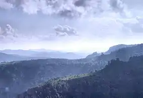
Grayson Lake is a 1,500-acre (6.1 km2) reservoir in Carter and Elliott counties in Kentucky. It was created by the United States Army Corps of Engineers in 1968 by impounding the Little Sandy River[3] with the Grayson Dam, an earthen structure 120 feet (37 m) high, creating a maximum capacity of 118,990 acre-feet (146,770,000 m3). Sections of Kentucky Route 7 were re-routed as a result of the lake's creation. KY 7 now traverses a modern highway stretch around the park, crossing the dam also.
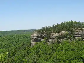
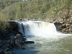
The lake is the major attraction of Grayson Lake State Park.[4]
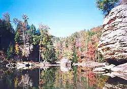
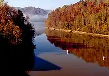
An eye level image from the lake, showing trees turning colors for Autumn.
See also
References
- ↑ "Fishing and Boating Grayson Lake Kentucky".
- ↑ U.S. Geological Survey Geographic Names Information System: Grayson Lake
- ↑ Kleber, John E., ed. (1992). "Lakes". The Kentucky Encyclopedia. Associate editors: Thomas D. Clark, Lowell H. Harrison, and James C. Klotter. Lexington, Kentucky: The University Press of Kentucky. ISBN 0-8131-1772-0.
- ↑ "Grayson Lake State Park". Kentucky Department of Parks. 2005-10-10. Retrieved 2007-02-17.
External links

This article is issued from Wikipedia. The text is licensed under Creative Commons - Attribution - Sharealike. Additional terms may apply for the media files.