Great Hill Place | |
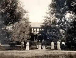
 A wedding in front of the house in 1909 | |
 | |
| Nearest city | Bolingbroke, Georgia |
|---|---|
| Coordinates | 32°56′39″N 83°49′08″W / 32.944186°N 83.818857°W |
| Area | 350 acres (1.4 km2) |
| Built | 1874-75 |
| Architectural style | Italianate, "plantation plain" |
| NRHP reference No. | 73000633[1] |
| Added to NRHP | July 24, 1973 |
Great Hill Place, also known as Colaparchee and Cotton Place, in Monroe County, Georgia, west of Bolingbroke, Georgia, was listed on the National Register of Historic Places in 1973. The listing included ten contributing buildings and two contributing structures on 350 acres (1.4 km2).[1]

The plantation complex, in 1973, included a two-story main house. The house, then known as Cotton Place,[2] was enlarged and "Victorianized" in 1874–75 by railroad businessman William Morrill Wadley to retire there. The original house, built in the early 1800s, was plantation plain in style. Subsequent owners called it Colaparchee, before Wadley bought it in 1873. He named it "Great Hill" after his birthplace near Brentwood, New Hampshire.[2] The plantation, then 1,360 acres (5.5 km2), cost $6,410 (~$168,459 in 2022).[3] Wadley was buried beside the house, in the Wadley family cemetery, after his death in 1882. His wife, Rebecca, joined him in 1905.[4]
It was deemed significant as "one of few, almost perfectly intact plantation complexes" in the state of Georgia.[3]
Some portion of the estate, perhaps the main house, has been lost (see photo from 2014). Satellite view of the property, in 2019, shows a large, presumably new mansion, covering where the main house was. A number of historic outbuildings survive.[5]
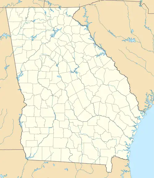
It is located about 15 miles (24 km) northwest of Macon, Georgia, one or two miles west of the small town of Bolingbroke, off of Georgia State Route 41. It is about 1/2 mile off Georgia State Route 41, a short way from the intersection of Route 41 and Interstate 475.[3][6]
Coordinates 32°56′39″N 83°49′08″W / 32.944186°N 83.818857°W point to what appears to have been the dairy of the plantation complex, based on comparison of sketch map to Google satellite view.
References
- 1 2 "National Register Information System". National Register of Historic Places. National Park Service. November 2, 2013.
- 1 2 Wadley, William M. (September 6, 2005). "William M. Wadley papers, 1869-1882". findingaids.library.emory.edu. Retrieved April 10, 2022.
- 1 2 3 Elizabeth Z. Macgregor (June 26, 1973). "National Register of Historic Places Inventory/Nomination: Great Hill Place / Colaparchee". National Park Service. Retrieved December 8, 2019. With accompanying six photos from 1973
- ↑ Survival of the Fittest: William Morrill Wadley and the Central of Georgia Railroad's Coming of Age, 1866-1882, Dorothy Houseal Stewart (1994)
- ↑ Google satellite view, accessed December 2019, comparing to sketch map in National Register document.
- ↑ Google maps view of unverified coordinates currently in article.