Greeley–Weld County Airport | |||||||||||||||
|---|---|---|---|---|---|---|---|---|---|---|---|---|---|---|---|
| Summary | |||||||||||||||
| Airport type | Public | ||||||||||||||
| Owner | Greeley–Weld County Airport Authority | ||||||||||||||
| Serves | Greeley, Colorado | ||||||||||||||
| Elevation AMSL | 4,697 ft / 1,432 m | ||||||||||||||
| Coordinates | 40°26′15″N 104°37′59″W / 40.43750°N 104.63306°W | ||||||||||||||
| Map | |||||||||||||||
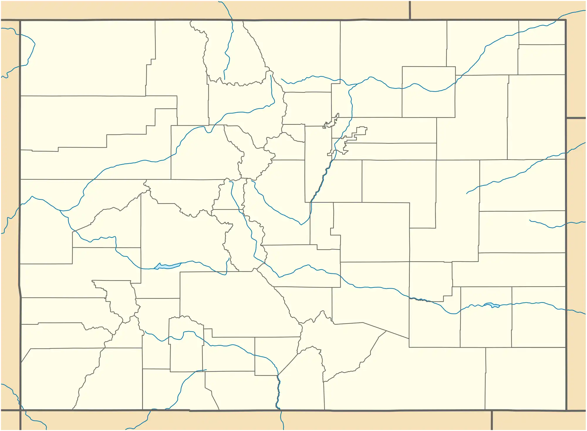
 GXY Location of airport in Colorado | |||||||||||||||
| Runways | |||||||||||||||
| |||||||||||||||
| Helipads | |||||||||||||||
| |||||||||||||||
| Statistics (2018) | |||||||||||||||
| |||||||||||||||
Source: Federal Aviation Administration | |||||||||||||||
Greeley–Weld County Airport (IATA: GXY, ICAO: KGXY, FAA LID: GXY) is a public use airport located three nautical miles (6 km) east of the central business district of Greeley, a city in Weld County, Colorado, United States. It is owned by the Greeley–Weld County Airport Authority. This airport is included in the National Plan of Integrated Airport Systems for 2011–2015, which categorized it as a general aviation facility.[1]
History
The airport opened in June, 1944, as Greeley Municipal Airport. In September of that year it was dedicated as Crosier Field in honor of World War II aviator Clarence F. "Red" Crosier. Joint ownership by the City of Greeley and Weld County began in 1963, with a new terminal and hangars added throughout that decade. The Greeley–Weld County Airport Authority was established in 1978 and is responsible for operation and development of the airport. A new 10,000-foot (3,000 m) runway and a new terminal were opened in 2000.[2]
Greeley saw commercial airline service beginning in the late 1940's when Challenger Airlines began serving the city as one of many stops on routes between Denver and Billings, MT as well as between Denver and Salt Lake City. Douglas DC-3 aircraft were used. Challenger was merged to become Frontier Airlines (1950-1986) in 1950 but service ended within a few years. Service was also provided in 1969 and 1970 by commuter carrier Trans Central Airlines with flights to Denver using Cessna 402 aircraft.[3]
Facilities and aircraft
According to the FAA Airport Form 5010 for GXY PDF, Greeley–Weld County Airport covers an area of 1,198 acres (485 ha) at an elevation of 4,697 feet (1,432 m) above mean sea level. It has two runways with asphalt surfaces: 17/35 is 10,000 by 100 ft (3,048 by 30 m) and 10/28 is 5,801 by 100 ft (1,768 by 30 m). It also has two helipads designated H1 and H2, each with concrete surface measuring 20 by 20 ft (6.1 by 6.1 m).
According to the FAA, for the 12-month period ending December 31, 2018, the airport had 110,660 aircraft operations: 99.5% general aviation and 0.5% military. At that time there were 145 aircraft based at this airport: 121 (83%) single-engine, 16 (11%) multi-engine, 5 (3%) jet, and 5 (3%) helicopter.
The 233rd Space Group (233rd SG) is a unit of the Colorado Air National Guard located at Greeley Air National Guard Station, which is adjacent to the Greeley–Weld County Airport and makes use of its runways.
See also
References
- ↑ "2011–2015 NPIAS Report, Appendix A" (PDF). National Plan of Integrated Airport Systems. Federal Aviation Administration. October 4, 2010. Archived from the original (PDF, 2.03 MB) on October 27, 2012.
- ↑ "Greeley–Weld County Airport: Airport History". Archived from the original on 2007-06-28. Retrieved 2007-01-26.
- ↑ Frontier and Trans Central Airlines timetables
External links
- Official website
- Greeley - Weld County Airport (GXY) at Colorado DOT airport directory
- Aerial image as of October 1999 from USGS The National Map
- FAA Airport Diagram (PDF), effective December 28, 2023
- FAA Terminal Procedures for GXY, effective December 28, 2023
- Resources for this airport:
- FAA airport information for GXY
- AirNav airport information for KGXY
- ASN accident history for GXY
- FlightAware airport information and live flight tracker
- NOAA/NWS weather observations: current, past three days
- SkyVector aeronautical chart, Terminal Procedures