| Greenhorn Mountains | |
|---|---|
| Highest point | |
| Elevation | 8,133 ft (2,479 m) |
| Geography | |
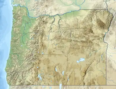
| Country | United States |
| State | Oregon |
| Counties | Grant, Baker |
| Range coordinates | 44°42′50″N 118°33′42″W / 44.71389°N 118.56167°W |
| Topo map | USGS Vinegar Hill |
The Greenhorn Mountains are a small mountain range in Grant and Baker counties in the U.S. state of Oregon.[1] They are part of the Blue Mountains.[2]
See also
References
- 1 2 "Greenhorn Mountains". Geographic Names Information System. United States Geological Survey, United States Department of the Interior.
- ↑ Bishop, Ellen. "Greenhorn Mountains". The Oregon Encyclopedia. Oregon Historical Society. Retrieved February 2, 2021.
This article is issued from Wikipedia. The text is licensed under Creative Commons - Attribution - Sharealike. Additional terms may apply for the media files.