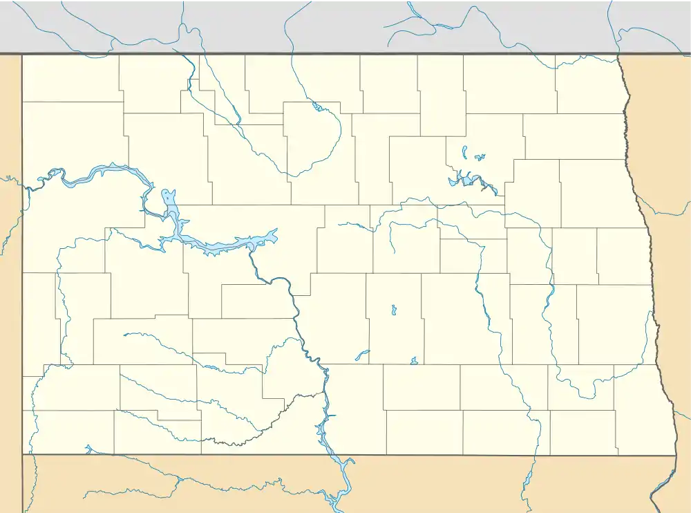
Greenville Township, LaMoure County, North Dakota | |
|---|---|
 Greenville Township, LaMoure County, North Dakota Location within the state of North Dakota | |
| Coordinates: 46°24′23″N 98°5′13″W / 46.40639°N 98.08694°W | |
| Country | United States |
| State | North Dakota |
| County | LaMoure |
| Area | |
| • Total | 36.02 sq mi (93.3 km2) |
| • Land | 36.02 sq mi (93.3 km2) |
| • Water | 0.09 sq mi (0.2 km2) |
| Elevation | 1,486 ft (453 m) |
| Population | |
| • Total | 80 |
| • Density | 2.2/sq mi (0.8/km2) |
| Time zone | UTC-6 (Central (CST)) |
| • Summer (DST) | UTC-5 (CDT) |
| Area code | 701 |
| FIPS code | 38-33460[3] |
| GNIS feature ID | 1036894[4] |
Greenville Township is a rural township in LaMoure County in the U.S. state of North Dakota. Its population at the 2000 Census was 80,[2] with an estimated population of 67 as of 2009.[5] There are no organized communities within the township; it is entirely farmland with occasional homes.
References
- 1 2 U.S. Census Bureau. Census 2000, Summary File 1. "GCT-PH1. Population, Housing Units, Area, and Density: 2000 - County -- Subdivision and Place". American FactFinder. <http://factfinder2.census.gov>. Retrieved January 31, 2008.
{{cite web}}: CS1 maint: numeric names: authors list (link) - 1 2
U.S. Census Bureau. Census 2000. "Census Demographic Profiles, Greenville Township" (PDF). CenStats Databases. Retrieved January 31, 2009.
{{cite web}}: CS1 maint: numeric names: authors list (link) - ↑ "U.S. Census website". United States Census Bureau. Retrieved January 31, 2008.
- ↑ "US Board on Geographic Names". United States Geological Survey. October 25, 2007. Retrieved January 31, 2008.
- ↑ U.S. Census Bureau (2010). "Incorporated Places and Minor Civil Divisions: North Dakota". 2009 Population Estimates. Archived from the original (CSV) on June 27, 2010. Retrieved June 22, 2010.
This article is issued from Wikipedia. The text is licensed under Creative Commons - Attribution - Sharealike. Additional terms may apply for the media files.
