Griggs, Oklahoma | |
|---|---|
 Griggs | |
| Coordinates: 36°36′10″N 102°07′21″W / 36.60278°N 102.12250°W | |
| Country | United States |
| State | Oklahoma |
| County | Cimarron |
| Elevation | 3,822 ft (1,165 m) |
| Time zone | UTC-6 (Central (CST)) |
| • Summer (DST) | UTC-5 (CDT) |
| Area code | 580 |
| GNIS feature ID | 1100466[1] |
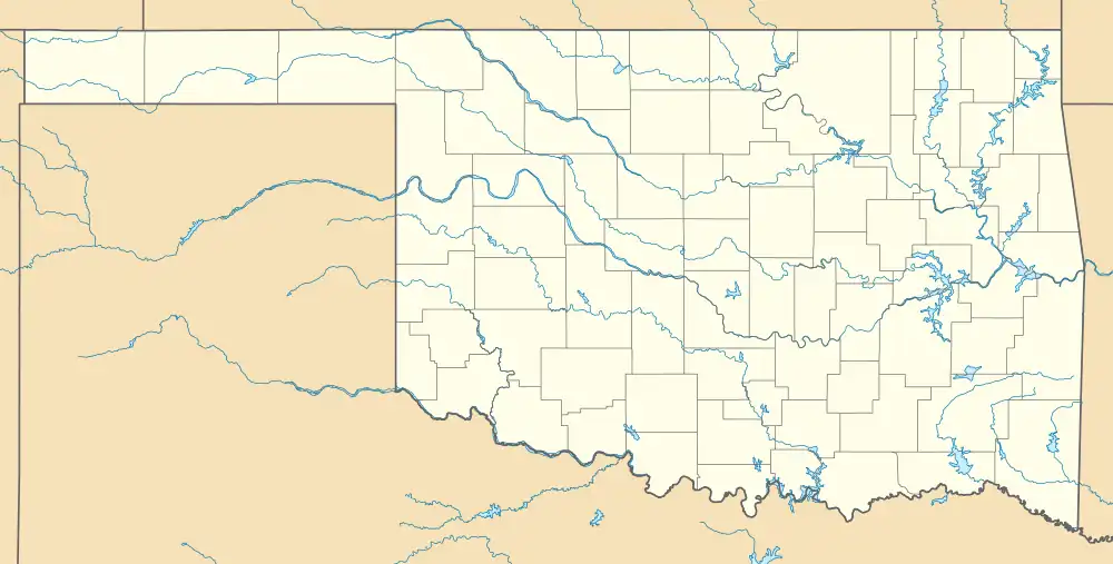
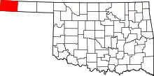
Griggs is an unincorporated community in Cimarron County, Oklahoma, United States, located in the Oklahoma Panhandle.
Griggs is east of Oklahoma State Highway 171 on E0280 Rd, then south on N0525Rd.[2] It is approximately 22 driving miles north of Stratford, Texas[3] and about 28 driving miles east-southeast of Boise City,[4] the county seat.[5]
References
- 1 2 U.S. Geological Survey Geographic Names Information System: Griggs, Oklahoma
- ↑ "Griggs, Oklahoma". Google Maps. Retrieved September 10, 2020.
- ↑ "Stratford, Texas to Griggs, Oklahoma". Google Maps. Retrieved September 10, 2020.
- ↑ "Boise City, Oklahoma to Griggs, Oklahoma". Google Maps. Retrieved September 10, 2020.
- ↑ "Cimarron County Genealogy Resources". TravelOK.com. Retrieved September 10, 2020.
This article is issued from Wikipedia. The text is licensed under Creative Commons - Attribution - Sharealike. Additional terms may apply for the media files.
