Grocholub | |
|---|---|
Village | |
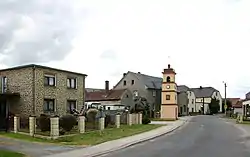
 Street of Grocholub | |
 Grocholub  Grocholub | |
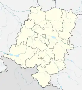
| Coordinates: 50°23′33″N 18°1′11″E / 50.39250°N 18.01972°E | |
| Country | |
| Voivodeship | Opole |
| County | Krapkowice |
| Gmina | Walce |
| First mentioned | 1228 |
| Time zone | UTC+1 (CET) |
| • Summer (DST) | UTC+2 (CEST) |
| Vehicle registration | OKR |
Grocholub [ɡrɔˈxɔlup] is a village, in the administrative district of Gmina Walce, within Krapkowice County, Opole Voivodeship, in southern Poland.[1] Historically located in Upper Silesia, in the Prudnik Land.
Location
It lies approximately 3 kilometres (2 mi) north-east of Walce, 10 km (6 mi) south-east of Krapkowice, and 32 km (20 mi) south of the regional capital Opole.
History
The village was first mentioned in a document of Duke Casimir I of Opole from 1228, when it was part of fragmented Piast-ruled Poland. Later on, it was also part of Bohemia (Czechia), Prussia, and Germany. In 1936, during a massive Nazi campaign of renaming of placenames, it was renamed to Erbersdorf to erase traces of Polish origin. During World War II, the Germans operated the E156 forced labour subcamp of the Stalag VIII-B/344 prisoner-of-war camp in the village.[2] After the defeat of Germany in the war, in 1945, the village became again part of Poland and its historic name was restored.
References
- ↑ "Central Statistical Office (GUS) - TERYT (National Register of Territorial Land Apportionment Journal)" (in Polish). 2008-06-01.
- ↑ "Working Parties". Lamsdorf.com. Archived from the original on 29 October 2020. Retrieved 7 November 2021.