Gros Cap Indian Village 49A | |
|---|---|
| Gros Cap Indian Village Indian Reserve No. 49A | |
 Gros Cap Indian Village 49A | |
| Coordinates: 47°59′N 84°54′W / 47.983°N 84.900°W | |
| Country | |
| Province | |
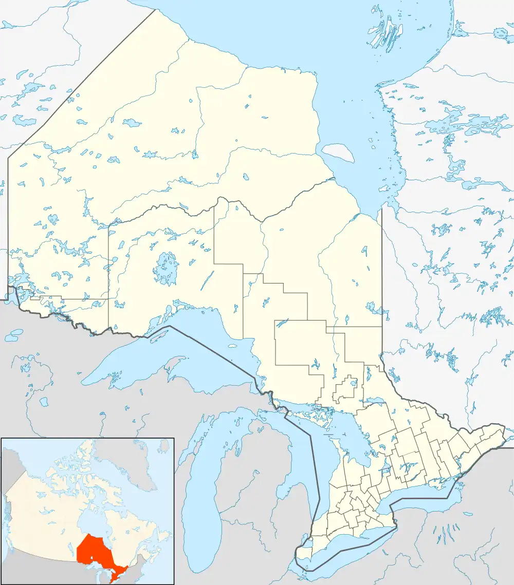
| District | Algoma |
| First Nation | Michipicoten |
| Area | |
| • Land | 0.05 km2 (0.02 sq mi) |
Gros Cap Indian Village 49A is a First Nations reserve[1] which is surrounded by Wawa, Ontario, but almost borders Gros Cap 49. It is one of the reserves of the Michipicoten First Nation.
References
External links
Places adjacent to Gros Cap Indian Village 49A | ||||||||||||||||
|---|---|---|---|---|---|---|---|---|---|---|---|---|---|---|---|---|
| ||||||||||||||||

This article is issued from Wikipedia. The text is licensed under Creative Commons - Attribution - Sharealike. Additional terms may apply for the media files.