Groveland, Idaho | |
|---|---|
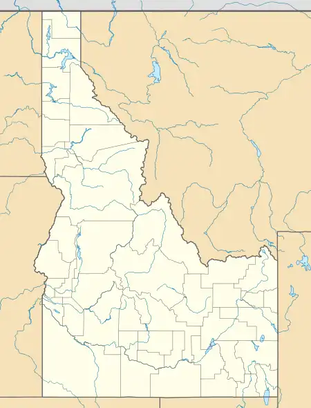
 Location of Groveland in Bingham County, Idaho. | |
 Groveland Location in Idaho  Groveland Location in the United States | |
| Coordinates: 43°13′12″N 112°22′21″W / 43.22000°N 112.37250°W | |
| Country | United States |
| State | Idaho |
| County | Bingham |
| Area | |
| • Total | 2.297 sq mi (5.95 km2) |
| • Land | 2.297 sq mi (5.95 km2) |
| • Water | 0 sq mi (0 km2) |
| Elevation | 4,495 ft (1,370 m) |
| Population | |
| • Total | 877 |
| • Density | 380/sq mi (150/km2) |
| Time zone | UTC-7 (Mountain (MST)) |
| • Summer (DST) | UTC-6 (MDT) |
| Area code(s) | 208, 986 |
| GNIS feature ID | 396599[2] |
Groveland is a census-designated place in Bingham County, Idaho, United States.[2] Its population was 877 as of the 2010 census.[1]
The community was named for the groves of trees near the original town site.[3]
Demographics
| Census | Pop. | Note | %± |
|---|---|---|---|
| 2010 | 877 | — | |
| U.S. Decennial Census[4] | |||
See also
References
- 1 2 "U.S. Census website". U.S. Census Bureau. Retrieved March 22, 2011.
- 1 2 U.S. Geological Survey Geographic Names Information System: Groveland
- ↑ The Utah Genealogical and Historical Magazine, Volumes 9-10. 1918. p. 184.
- ↑ "Census of Population and Housing". Census.gov. Retrieved June 4, 2016.
External links
![]() Media related to Groveland, Idaho at Wikimedia Commons
Media related to Groveland, Idaho at Wikimedia Commons
Municipalities and communities of Bingham County, Idaho, United States | ||
|---|---|---|
| Cities | Map of Idaho highlighting Bingham County | |
| CDPs | ||
| Unincorporated communities | ||
| Indian reservation | ||
| Footnotes | ‡This populated place also has portions in an adjacent county or counties | |
This article is issued from Wikipedia. The text is licensed under Creative Commons - Attribution - Sharealike. Additional terms may apply for the media files.