Gyzylbaýyr
Şarlawuk | |
|---|---|
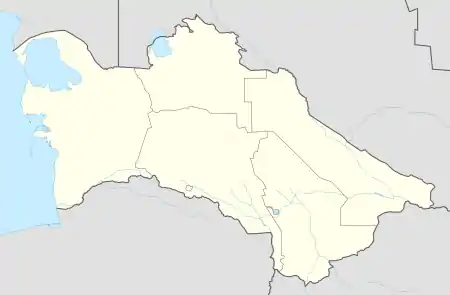 Gyzylbaýyr Location in Turkmenistan | |
| Coordinates: 38°13′N 55°38′E / 38.217°N 55.633°E | |
| Country | |
| Province | Balkan Province |
| District | Etrek District |
| Rural Council | Gyzylbaýyr geňeşligi |
| Time zone | UTC+5 |
Gyzylbaýyr (formerly called Şarlawuk) is a village in far south-western Turkmenistan, in Etrek District, Balkan Province. It lies on the Atrek River not far from the border with Iran and is bisected by the P-15 highway between Serdar and Etrek.[1]
References
- ↑ "Districts in Turkmenistan / Balkan welaýaty". Retrieved 10 April 2021.
This article is issued from Wikipedia. The text is licensed under Creative Commons - Attribution - Sharealike. Additional terms may apply for the media files.