| Höttinger Bach | |
|---|---|
 | |
| Location | |
| Country | Austria |
| State | Tyrol |
| Physical characteristics | |
| Source | |
| • location | Umbrückler Alm above Innsbruck |
| • elevation | 1,100 m (3,600 ft) |
| Mouth | |
• location | Inn River near Innsbruck-Mariahilf |
• coordinates | 47°16′03″N 11°23′16″E / 47.2675°N 11.3878°E |
| Length | 4.0 km (2.5 mi) [1] |
| Basin features | |
| Progression | Inn→ Danube→ Black Sea |
The Höttinger Bach is a river of Tyrol, Austria. It is a 4 km (2.5 mi) long left tributary of the Inn in Innsbruck and lies in full on the Innsbruck city area.
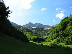
The Höttinger Bach originates on 1,100 m (AA) below the Umbrückler Alm and runs straight in southern direction to the city district Mariahilf where it merges with theInn. In the course of time it created a small ravine called Höttinger Graben. The overground part is visible until the street Kirschentalgasse.
Near its origin the city erected a drinking water reservoir, which mainly supplies the Hungerburg region additionally. Its excellent A grade quality is kept by the river in the whole course.
The small river may look like a harmless water but can quickly get flooded due to high water or strong rain. Hötting had to suffer from this already several times.
References