Høybuktmoen
Nuvvosguolbba | |
|---|---|
Airport / Military Camp | |
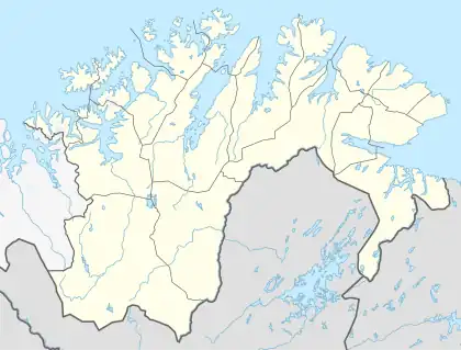 Høybuktmoen Location of Høybuktmoen  Høybuktmoen Høybuktmoen (Troms og Finnmark) 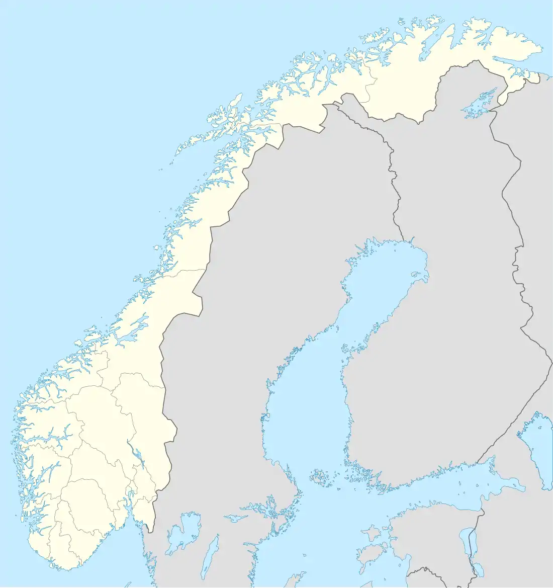 Høybuktmoen Høybuktmoen (Norway) | |
| Coordinates: 69°43′03″N 29°53′33″E / 69.71750°N 29.89250°E | |
| Country | Norway |
| Region | Northern Norway |
| County | Troms og Finnmark |
| District | Øst-Finnmark |
| Municipality | Sør-Varanger |
| Elevation | 90 m (300 ft) |
| Time zone | UTC+01:00 (CET) |
| • Summer (DST) | UTC+02:00 (CEST) |
Høybuktmoen (Northern Sami: Nuvvosguolbba) is a moor area in the municipality of Sør-Varanger in Troms og Finnmark county, Norway. It is located about 12 kilometers (7.5 mi) west of the town of Kirkenes. It is the site of Kirkenes Airport, Høybuktmoen and the Garrison of Sør-Varanger. Høybuktmoen is located on a small peninsula between the Bøkfjorden and Korsfjorden. The European route E6 highway runs just south of Høybuktmoen.
See also
References
- ↑ "Høybuktmoen" (in Norwegian). yr.no. Retrieved 2013-03-08.
This article is issued from Wikipedia. The text is licensed under Creative Commons - Attribution - Sharealike. Additional terms may apply for the media files.