Hacienda Buena Union[lower-alpha 1] | |
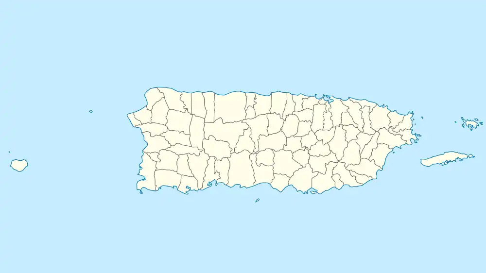
 Location of the hacienda in Puerto Rico | |
| Location | Highway 362, km 3.0 Barrio Guamá San Germán municipality Puerto Rico[3][4] |
|---|---|
| Coordinates | 18°05′19″N 67°00′49″W / 18.088533°N 67.013620°W |
| Built | 1870 |
| NRHP reference No. | 83002296 |
| Added to NRHP | August 23, 1983 |
Hacienda Buena Unión in the municipality of San Germán, Puerto Rico was built in 1870. It is also known as Trapiche del Guamá or Hacienda Acosta.[1]
The hacienda was listed on the U.S. National Register of Historic Places in 1983.[2]
See also
Notes
References
- 1 2 Muratti Martínez, Víctor; Pumarada O'Neill, Luis (February 24, 1983), National Register of Historic Places Inventory — Nomination Form: Hacienda Buena Union (redacted PDF), retrieved February 3, 2016.
- 1 2 National Park Service (August 30, 1983), Weekly announcement of National Register of Historic Places actions (PDF), p. 132, retrieved February 3, 2016.
- ↑ Oficina Estatal de Conservación Histórica (April 1, 2014), Hacienda Buena Unión – Trapiche del Guamá – Hacienda Acosta (PDF), retrieved February 3, 2016.
- ↑ Oficina Estatal de Conservación Histórica (n.d.), Puerto Rico: Registro Nacional de Lugares Históricos (online GIS), retrieved February 3, 2016.
This article is issued from Wikipedia. The text is licensed under Creative Commons - Attribution - Sharealike. Additional terms may apply for the media files.