Hajiwala
حاجیوالہ | |
|---|---|
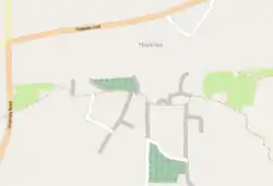
 Map of Hajiwala | |
| Coordinates: 32°43′56″N 74°14′05″E / 32.73222°N 74.23472°E | |
| Country | Pakistan |
| Province | Punjab |
| District | Gujrat |
| Time zone | UTC+5 (PST) |
| Calling code | 053 |
Hajiwala (Urdu: حاجیوالہ)[1] is a village in the district Gujrat, Pakistan.
References
- ↑ 1998 District Census Report of [Gujrat District] Hajiwala (حاجیوالہ). Population Census Organisation, Statistics Division, Government of Pakistan. 1999. p. 252. Retrieved 2024-01-13.
This article is issued from Wikipedia. The text is licensed under Creative Commons - Attribution - Sharealike. Additional terms may apply for the media files.