| Hampton River | |
|---|---|
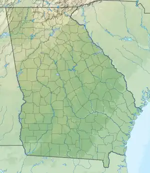 Location of mouth | |
| Location | |
| Country | United States |
| State | Georgia |
| Physical characteristics | |
| Source | |
| • location | Georgia |
| Mouth | |
• coordinates | 31°12′57″N 81°18′21″W / 31.21579°N 81.30593°W |
The Hampton River is a 12.3-mile-long (19.8 km)[1] tidal river in Glynn County, Georgia. It forms a channel between Saint Simons Island and Little Saint Simons Island on the Atlantic coast.[2][3]
See also
References
- ↑ U.S. Geological Survey. National Hydrography Dataset high-resolution flowline data. The National Map, accessed April 21, 2011
- ↑ U.S. Geological Survey Geographic Names Information System: Hampton River
- ↑ USGS Hydrologic Unit Map - State of Georgia (1974)
This article is issued from Wikipedia. The text is licensed under Creative Commons - Attribution - Sharealike. Additional terms may apply for the media files.