28°21′47″N 82°11′25″W / 28.36306°N 82.19028°W / 28.36306; -82.19028
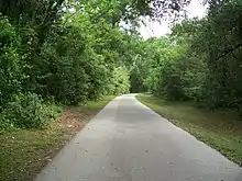
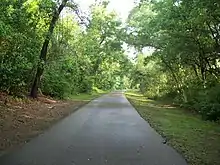
The Hardy Trail in Dade City, Florida as seen looking north from a little south of the mid point, the half mile markers which can be seen in the distance
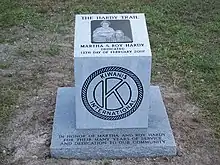
The marker placed near Church Avenue at the dedication of the Hardy Trail in Dade City, Florida
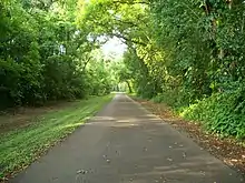
The Hardy Trail in Dade City, Florida as seen looking south from near Florida Avenue toward the mid point, the half mile markers which can be seen in the distance
The Hardy Trail in Dade City, Florida as seen looking north from a little south of the mid point, the half mile markers which can be seen in the distance
Plans for a future water park along the trail

The Hardy Trail is a paved multi-use recreational trail in Dade City, Florida. It is one mile (1.6 km) long and 12 feet (3.7 m) wide. It follows the path of a segment of the Seaboard Air Line Railroad line where it ran through Dade City. This line was originally built between Zephyrhills and Lacoochee by the Florida Central and Peninsular Railroad,[1][2] but was abandoned after SAL merged with the Atlantic Coast Line Railroad to form the Seaboard Coast Line Railroad. It was named after former residents Roy and Martha Hardy, and is used primarily by local residents seeking exercise and recreation. The southern half of the trail is nearly always shaded by the woods through which it runs. A visitor information center is now under construction at the northern end where the trail meets Church Street.
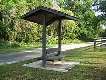
A rest stop with a covered bench on the Hardy Trail in Dade City, Florida
Sign at the site of a planned visitor center where Church Street meets the Hardy Trail in Dade City, Florida
Visitor Information Center on the Hardy Trail by Church Street in Dade City, Florida
Signage at the start of the Hardy Trail in Dade City, Florida

See also

References

This article is issued from Wikipedia. The text is licensed under Creative Commons - Attribution - Sharealike. Additional terms may apply for the media files.