Haripurwa Nagarpalika
हरिपुर्वा | |
|---|---|
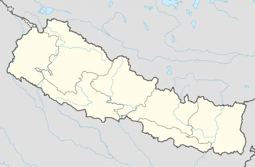 Haripurwa Nagarpalika Location in Nepal | |
| Coordinates: 26°53′57″N 85°40′53″E / 26.89917°N 85.68139°E | |
| Country | |
| Zone | Janakpur Zone |
| District | Sarlahi District |
| Government | |
| • Type | Local Government |
| • Mayor | Binod Sah |
| Area | |
| • Total | 30.5 km2 (11.8 sq mi) |
| Population (2018/2074 BS.) | |
| • Total | 36,042 |
| • Density | 1,200/km2 (3,100/sq mi) |
| Time zone | UTC+5:45 (Nepal Time) |
| Postal code | 45803 |
| Area code | 046. |
| Website | http://www.haripurwamun.gov.np |
Haripurwa is a Municipality in Sarlahi District in the Janakpur Zone of south-eastern Nepal. At the time of the 2011 Nepal census it had a population of 15,798 people living in 2,593 individual households.[1] it is made by the combination of villages like basantpur, haripurba,mirchaiya,zingarwa.
External links
References
- ↑ "National Population and Housing Census 2011" (PDF). Central Bureau of Statistics. Archived from the original (PDF) on May 25, 2013. Retrieved January 16, 2016..
Headquarter: Malangwa | ||
| Municipalities: 11 | 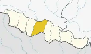 | |
| Rural Municipalities: 9 | ||
This article is issued from Wikipedia. The text is licensed under Creative Commons - Attribution - Sharealike. Additional terms may apply for the media files.