| Hay Western Australia | |
|---|---|
 Hay | |
| Coordinates | 34°57′17″S 117°23′7″E / 34.95472°S 117.38528°E |
| Population | 493 (2021)[1] |
| • Density | 3.712/km2 (9.615/sq mi) |
| Postcode(s) | 6333[2] |
| Area | 132.8 km2 (51.3 sq mi) |
| Location | |
| LGA(s) | Shire of Denmark |
| State electorate(s) | Warren-Blackwood |
| Federal division(s) | O'Connor |
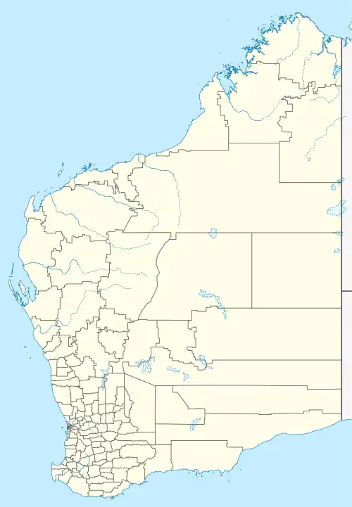
Hay is a locality located in the Great Southern region of Western Australia.
Demographics
As of the 2021 Australian census, 493 people resided in Hay,[1] up from 332 in the 2016 census.[3] The median age of persons in Hay was 51 years. There were more males than females, with 51.8% of the population male and 48.2% female. The average household size was 2.4 people per household.[1]
References
- 1 2 3 Australian Bureau of Statistics (28 June 2022). "Hay (State Suburb)". 2021 Census QuickStats. Retrieved 6 May 2023.
- ↑ "Hay, Western Australia". Australia Post. Retrieved 6 May 2023.
- ↑ Australian Bureau of Statistics (27 June 2017). "Hay (State Suburb)". 2016 Census QuickStats. Retrieved 6 May 2023.
This article is issued from Wikipedia. The text is licensed under Creative Commons - Attribution - Sharealike. Additional terms may apply for the media files.