Hayes Barton Historic District | |
 Vance Street neighborhood | |
  | |
| Location | Roughly bounded by St. Mary's St., Fairview Rd., W. Roanoke Park Dr., Scales St. and Williamson Dr., Raleigh, North Carolina |
|---|---|
| Coordinates | 35°48′14″N 78°38′57″W / 35.80389°N 78.64917°W |
| Area | 175 acres (71 ha) |
| Architect | Draper, Earle S.; Deitrick, William H. |
| Architectural style | Colonial Revival, Classical Revival |
| MPS | Five Points Neighborhoods, Raleigh, North Carolina MPS |
| NRHP reference No. | 02000496[1] |
| Added to NRHP | May 16, 2002 |
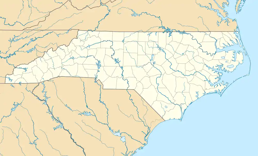
The Hayes Barton Historic District is a neighborhood located northwest of downtown Raleigh, North Carolina, United States. Hayes Barton, an upper class neighborhood designed by landscape architect Earle Sumner Draper, contains 457 buildings on 1,750 acres (7.1 km2). The neighborhood design includes roads fitted to the contours of the land and features several public parks. The Hayes Barton neighborhood is roughly bounded by St. Mary's St., Fairview Rd., W. Roanoke Park Dr. (renamed in 2020, formerly Aycock St.), Scales St. and Williamson Dr. In 2002, the district was listed on the National Register of Historic Places.[2][3]
Notable buildings
Notable residents
- Alice Willson Broughton, First Lady of North Carolina
- J. Melville Broughton, Governor of North Carolina and U.S. Senator
See also
References
- ↑ "National Register Information System". National Register of Historic Places. National Park Service. July 9, 2010.
- ↑ "North Carolina - Wake County - Historic Districts". National Park Service. May 1, 2008.
- ↑ "Five Points Neighborhoods, Raleigh, MPS". National Park Service. Retrieved May 1, 2008.
External links
- National Register Historic Districts in Raleigh, North Carolina, RHDC
- Five Points Historic District, RHDC
This article is issued from Wikipedia. The text is licensed under Creative Commons - Attribution - Sharealike. Additional terms may apply for the media files.

