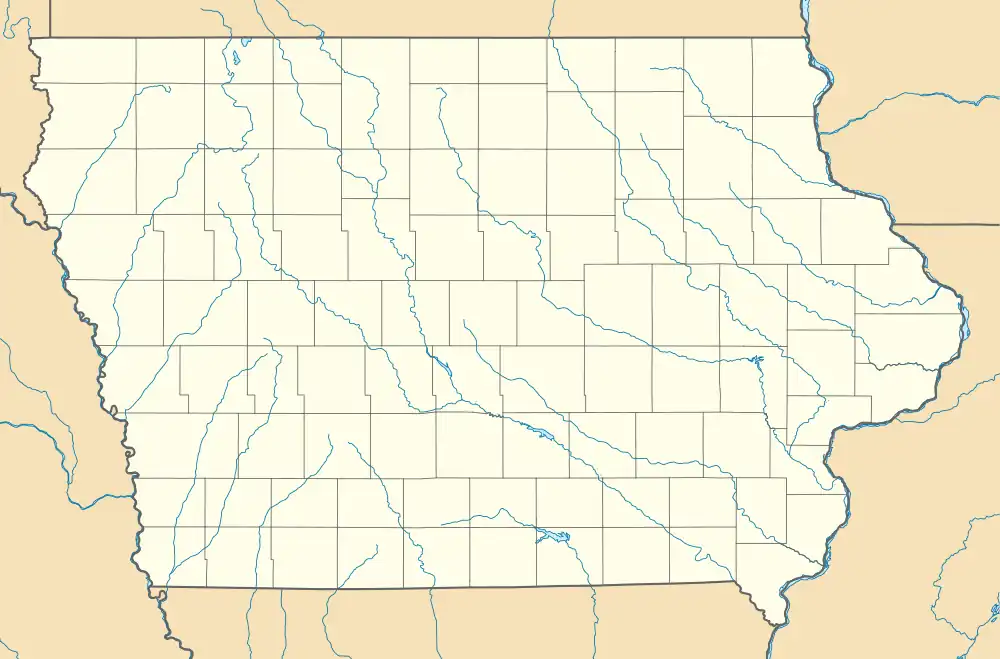
Hebron, Iowa | |
|---|---|
 Hebron, Iowa | |
| Coordinates: 41°15′17″N 94°17′07″W / 41.25472°N 94.28528°W | |
| Country | United States |
| State | Iowa |
| County | Adair |
| Elevation | 1,240 ft (380 m) |
| Time zone | UTC-6 (Central (CST)) |
| • Summer (DST) | UTC-5 (CDT) |
| Area code | 641 |
| GNIS feature ID | 464575[1] |
Hebron is an unincorporated town in Adair County, Iowa, United States.[1]
History

Hebron appeared on the Rand McNally state map of Iowa in 1903.
Founded in the 1800s, Hebron was named after the ancient city of Hebron.[2] Hebron is located in the southeastern part of Grand River Township, near the Grand River.[3]
The Hebron Creamery operated in the community circa 1904.[4] Other businesses included a general store, a barber shop, an ice house, a saw mill, and a blacksmith shop. A school, a post office, and the Hebron Methodist Church also operated in the community.[5] The church is still in operation.[6]
References
- 1 2 U.S. Geological Survey Geographic Names Information System: Hebron, Iowa
- ↑ Eugene Morrow Violette (1911). History of Adair County. Denslow history Company. pp. 413.
- ↑ Plat book of Adair County, Iowa, 1930 : Hixson Plat Map Atlases of Iowa.
- ↑ Division, Iowa Dept of Agriculture Dairy and Food (1904). Annual Report. State of Iowa. p. 62.
- ↑ "Hebron". www.iowaghosttowns.com. Retrieved June 12, 2021.
- ↑ "Hebron United Methodist Church - Find A Church". The United Methodist Church. Retrieved June 12, 2021.
- ↑ Cram's Modern Atlas: The New Unrivaled New Census Edition. J. R. Gray & Company. 1902. pp. 203–207.
- ↑ General Rating Book. 1925.
This article is issued from Wikipedia. The text is licensed under Creative Commons - Attribution - Sharealike. Additional terms may apply for the media files.