Helena Flats, Montana | |
|---|---|
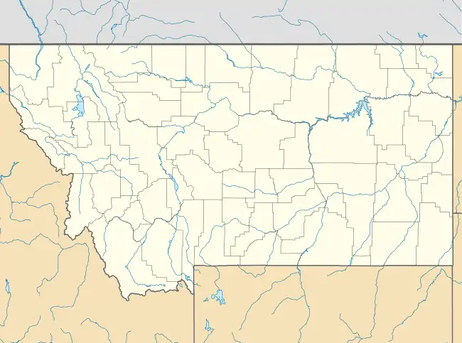 Helena Flats Location of Helena Flats, Montana | |
| Coordinates: 48°16′49″N 114°14′13″W / 48.28028°N 114.23694°W | |
| Country | United States |
| State | Montana |
| County | Flathead |
| Area | |
| • Total | 8.71 sq mi (22.56 km2) |
| • Land | 8.44 sq mi (21.86 km2) |
| • Water | 0.27 sq mi (0.70 km2) |
| Elevation | 2,956 ft (901 m) |
| Population (2020) | |
| • Total | 1,206 |
| • Density | 142.91/sq mi (55.18/km2) |
| Time zone | UTC-7 (Mountain (MST)) |
| • Summer (DST) | UTC-6 (MDT) |
| Area code | 406 |
| FIPS code | 30-35622 |
| GNIS feature ID | 2583815[2] |
Helena Flats is a census-designated place (CDP) in Flathead County, Montana, United States. The population was 1,206 in the 2020 census.[3]
Demographics
| Census | Pop. | Note | %± |
|---|---|---|---|
| 2020 | 1,206 | — | |
| U.S. Decennial Census[4] | |||
References
- ↑ "ArcGIS REST Services Directory". United States Census Bureau. Retrieved September 5, 2022.
- 1 2 U.S. Geological Survey Geographic Names Information System: Helena Flats, Montana
- ↑ "Explore Census Data". data.census.gov. Retrieved October 6, 2023.
- ↑ "Census of Population and Housing". Census.gov. Retrieved June 4, 2016.
Municipalities and communities of Flathead County, Montana, United States | ||
|---|---|---|
| Cities | 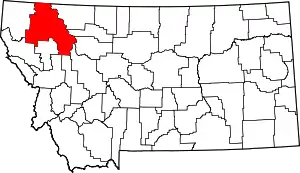 Flathead County map | |
| CDPs | ||
| Other communities | ||
| Indian reservation | ||
| Ghost town | ||
| Footnotes | ‡This populated place also has portions in an adjacent county or counties | |
This article is issued from Wikipedia. The text is licensed under Creative Commons - Attribution - Sharealike. Additional terms may apply for the media files.