| Helms Formation | |
|---|---|
| Stratigraphic range: | |
| Type | Formation |
| Underlies | La Tuna Formation |
| Overlies | Rancheria Formation |
| Thickness | 30 m (98 ft) |
| Lithology | |
| Primary | Shale |
| Other | Sandstone, limestone |
| Location | |
| Coordinates | 31°46′05″N 106°01′34″W / 31.768°N 106.026°W |
| Region | Texas, New Mexico |
| Country | United States |
| Type section | |
| Named for | Helms West Well |
| Named by | J.W. Beede |
| Year defined | 1920 |
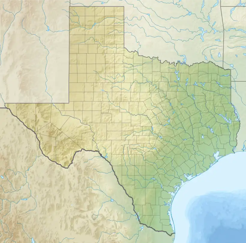
 Helms Formation (the United States)  Helms Formation (Texas) | |
The Helms Formation is a geologic formation in Texas and New Mexico. It preserves fossils dating back to the Chesterian (Serpukhovian) Age of the Carboniferous period.[1]
Description
At its type section in the Hueco Mountains, the formation consists of 30 meters (98 ft) of olive-gray shale, shaly sandstone, and dirty limestone. It is unconformably underlain by the Rancheria Formation[2] and unconformably overlain by the La Tuna Formation. The formation also crops out in the Organ Mountains of New Mexico.[1]
The formation is interpreted as having been deposited during a marine regression (withdrawal of the sea from the continent) to the south.[3]
Fossils
The formation contains fossils characteristic of the Chesterian (Serpukhovian) Age of the Carboniferous period.[2][1] These include abundant specimens of the ostracod Graphiadactyllis arkansana, as well as specimens of the bryozoan Archimedes terebriformis, the echinoderm Pentremites, the brachiopods Composita subquadrata, Spiriferina transversa, Diaphragmus elegans, and several species of Dictyoclostus,[2] and the trilobite Paladin helmensis.[4]
History of investigation
The formation was first designated as the Helms Group by J.W. Beeded in 1920 for outcrops near Helms Well West near the Hueco Mountains.[5] The original definition included the entire set of beds between Silurian and Pennsylvanian in age. In 1949, L.R. Laudon and A.L. Bowsher restricted Helms Formation to only the uppermost beds of the original section.[2]
See also
References
- 1 2 3 Lucas, Spencer G.; Krainer, Karl (Fall 2020). "Gallery of Geology: The Pennsylvanian section at Bishop Cap, Doña Ana County, New Mexico" (PDF). New Mexico Geology. 42 (2): 79-81. Retrieved 11 February 2021.
- 1 2 3 4 Laudon, Lowell R.; Bowsher, Arthur L. (1949). "Mississippian formations of southwestern New Mexico". Geological Society of America Bulletin. 60 (1): 1. doi:10.1130/0016-7606(1949)60[1:MFOSNM]2.0.CO;2.
- ↑ Lane, H. Richard (1974). "Mississippian of Southeastern New Mexico and West Texas--A Wedge-on-Wedge Relation". AAPG Bulletin. 58 (2): 269–282. doi:10.1306/83D913D0-16C7-11D7-8645000102C1865D.
- ↑ Whittington, H.B. (1954). "Two silicified Carboniferous trilobites from west Texas" (PDF). Smithsonian Miscellaneous Collections. 122 (10). Retrieved 13 January 2022.
- ↑ Beede, J.W. (1918). "Notes on the geology and oil possibilities of the northern Diablo Plateau in Texas". University of Texas Bulletin (1852).