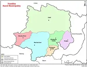
Hepka
हेप्का | |
|---|---|
Village | |
 Hepka Village (ward no. 1) | |
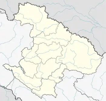 Hepka Location in province 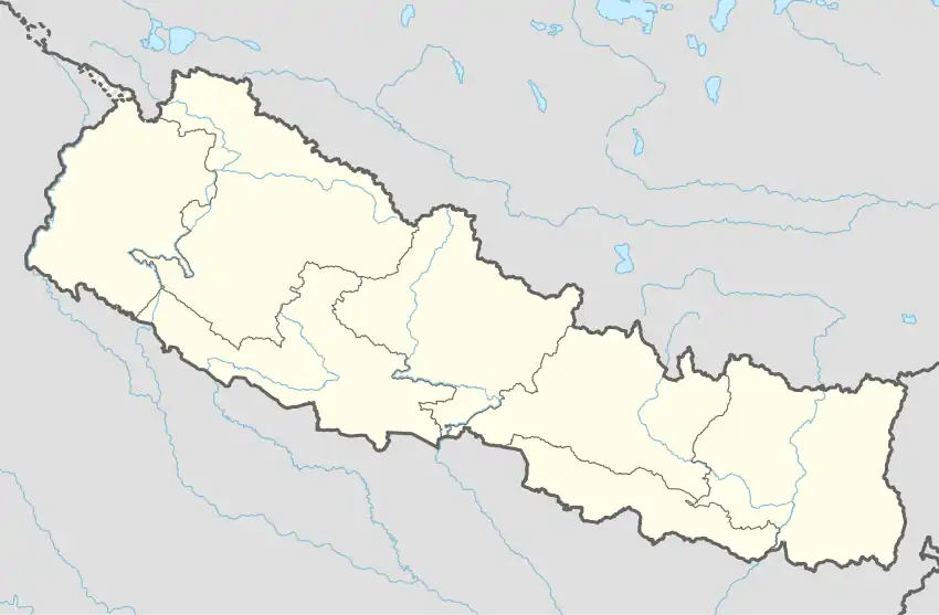 Hepka Hepka (Nepal) | |
| Coordinates: 30°05′N 81°52′E / 30.09°N 81.86°E | |
| Country | |
| Province | Karnali Province |
| District | Humla District |
| Rural municipality | Namkha |
| Ward No. | Ward No. 1 |
| Established | 2017 |
| Government | |
| • Type | Ward Council |
| Area | |
| • Total | 177.72 km2 (68.62 sq mi) |
| Population (2011) | |
| • Total | 1,057 |
| • Density | 5.9/km2 (15/sq mi) |
| Time zone | UTC+5:45 (Nepal Time) |
| Website | namkhamun |
Hepka is a village and ward council of Namkha rural municipality in Humla District in the Karnali Province of north-western Nepal. At the time of the 1991 Nepal census it had a population of 977 persons living in 159 individual households.[1]
See also
References
- ↑ "Nepal Census 2001". Nepal's Village Development Committees. Digital Himalaya. Archived from the original on 12 October 2008. Retrieved 4 September 2008.
External links
- UN map of the municipalities of Dolpa District
- Ministry of Federal Affairs and General Administration
- MOFAGA GIS MAP
Headquarters: Simikot | ||
| Rural municipalities: |  | |
List of municipalities and rural municipalities of Nepal | ||
This article is issued from Wikipedia. The text is licensed under Creative Commons - Attribution - Sharealike. Additional terms may apply for the media files.