Herbertsville, New Jersey | |
|---|---|
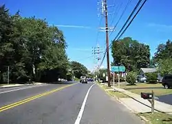 Along Herbertsville Road near the Lanes Mill Road intersection | |
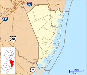 Herbertsville Herbertsville's location in Ocean County (Inset: Ocean County in New Jersey) 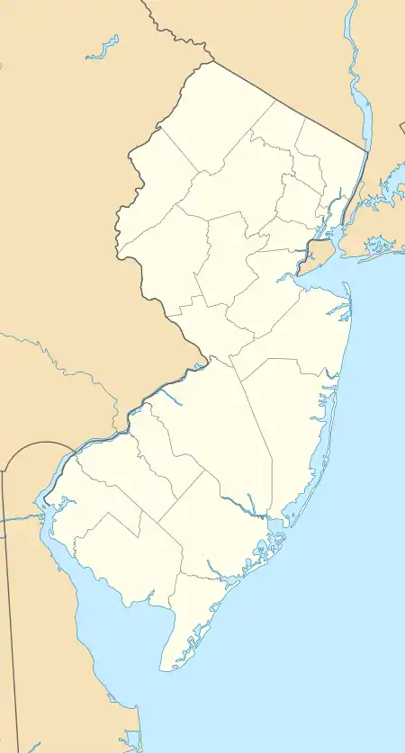 Herbertsville Herbertsville (New Jersey)  Herbertsville Herbertsville (the United States) | |
| Coordinates: 40°06′43″N 74°06′33″W / 40.11194°N 74.10917°W | |
| Country | |
| State | |
| County | Ocean |
| Township | Brick |
| Elevation | 52 ft (16 m) |
| GNIS feature ID | 877054[1] |
Herbertsville is an unincorporated community located within Brick Township in Ocean County, in the U.S. state of New Jersey.[2] The suburban community is located in the northern reaches of the township centered about the intersection of Herbertsville Road (County Route 549 Spur) and Lanes Mill Road.[3]
References
- ↑ U.S. Geological Survey Geographic Names Information System: Herbertsville, New Jersey
- ↑ Locality Search, State of New Jersey. Accessed March 14, 2015.
- ↑ Google (August 31, 2016). "Aerial view of Herbertsville" (Map). Google Maps. Google. Retrieved August 31, 2016.
Wikimedia Commons has media related to Herbertsville, New Jersey.

This article is issued from Wikipedia. The text is licensed under Creative Commons - Attribution - Sharealike. Additional terms may apply for the media files.