Herharaya
هرهريا | |
|---|---|
Town | |
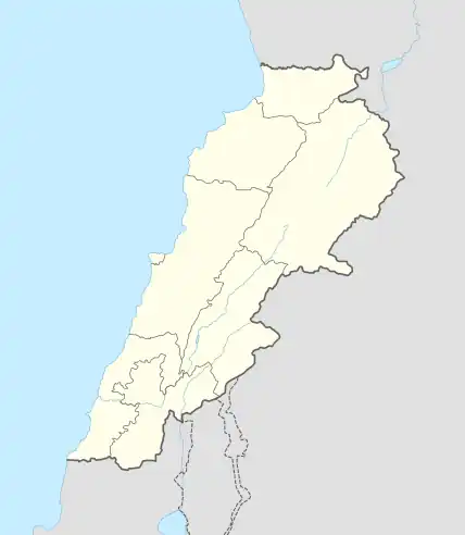
 Herharaya Location within Lebanon | |
| Coordinates: 34°1′29″N 35°41′52″E / 34.02472°N 35.69778°E | |
| Country | |
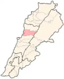
| Governorate | Keserwan-Jbeil |
| District | Keserwan |
| Time zone | UTC+2 (EET) |
| • Summer (DST) | UTC+3 (EEST) |
| Dialing code | +961 |
Herharaya (alternatively Harhraya, Herhrayya; Arabic: هرهريا ) is a township in the municipality and administrative division of Jdaidet Ghazir – Harharaya – Qattine in the Keserwan District of the Keserwan-Jbeil Governorate in Lebanon. The town is about 31 kilometres (19 mi) north of Beirut. It has an average elevation of 540 meters (1,770 ft) above sea level and its total land area is 167 hectares (410 acres).[1][2]
The municipality of is a member of Municipal Federation of Kesrouane Al Ftouh.[2]
Notable people
- Ignatius Ziade (1906–1944), Archbishop of the Maronite Catholic Archeparchy of Aleppo and the Maronite Catholic Archeparchy of Beirut
- Philippe Ziade (born 1976), entrepreneur and honorary consul in Nevada
References.
Bibliography
- Aouad, Michel (6 July 2016). "Jdaidet Ghazir - Harharaya - Qattine - Localiban". Localiban. Centre de ressources sur le développement local au Liban. Archived from the original on 1 December 2020. Retrieved 2021-02-25.
- Aouad, Michel (22 July 2019). "Harharaya". www.libandata.org. Archived from the original on 25 February 2021. Retrieved 2021-02-25.
This article is issued from Wikipedia. The text is licensed under Creative Commons - Attribution - Sharealike. Additional terms may apply for the media files.
