Herrera (Entre Ríos) | |
|---|---|
Municipality and village | |
 | |
 Seal | |
 Herrera (Entre Ríos) | |
| Coordinates: 32°26′S 58°38′W / 32.433°S 58.633°W | |
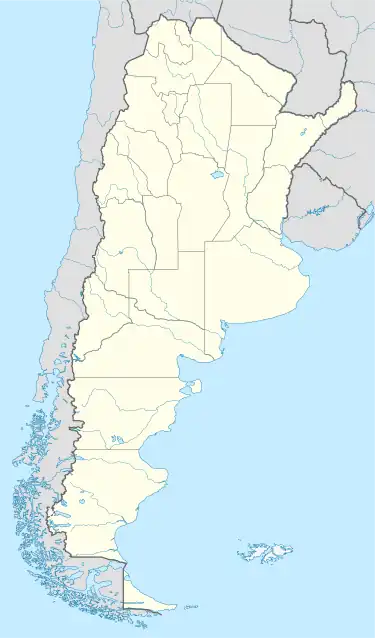
| Country | |
| Province | |
| Government | |
| • Leaders | Carlos Curuchet |
| Population (2010) | |
| • Total | 1,767 |
| Time zone | UTC−3 (ART) |
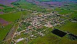
Herrera (Entre Ríos) is a municipality in the Gená district of the Uruguay department in the province of Entre Ríos in north-eastern Argentina.[1] The municipality includes the locality of the same name - also known as Villa San Miguel - and a rural area. Its railway station is called Nicolás Herrera.
References
- ↑ Ministerio del Interior (in Spanish)
This article is issued from Wikipedia. The text is licensed under Creative Commons - Attribution - Sharealike. Additional terms may apply for the media files.