Herwen | |
|---|---|
 View on the village | |
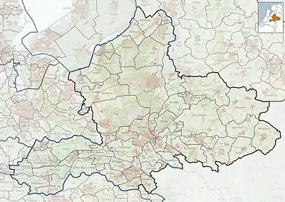
 Herwen Location in the Netherlands  Herwen Herwen (Netherlands) | |
| Coordinates: 51°53′8″N 6°5′58″E / 51.88556°N 6.09944°E | |
| Country | Netherlands |
| Province | Gelderland |
| Municipality | Zevenaar |
| Area | |
| • Total | 5.55 km2 (2.14 sq mi) |
| Elevation | 13 m (43 ft) |
| Population (2021)[1] | |
| • Total | 1,060 |
| • Density | 190/km2 (490/sq mi) |
| Time zone | UTC+1 (CET) |
| • Summer (DST) | UTC+2 (CEST) |
| Postal code | 6914[1] |
| Dialing code | 0316 |
Herwen is a village in the Dutch province of Gelderland. It is located in the municipality of Zevenaar.
Herwen was a separate municipality until 1818, when the area was divided between the new municipality of Herwen en Aerdt and Pannerden.[3]
History
The village was first mentioned in the 1st century as Carvio ad Molem. The etymologie in unclear. It was discovered on the tomb of Marcus Mallius, a Roman soldier buried in Herwen. In 897, it was attested as Harauua.[4] Herwen developed along the Oude Rijn near Castle Ter Cluse. The castle was built in 1348 and destroyed in 1598. In 1652, a havezate was built in its place. The Catholic St.-Martinus Church was built between 1904 and 1905 as a replacement of an 1818 predecessor.[5] In 1840, Herwen was home to 654 people.[6]
Gallery
 Herwen, church: de Sint Martinuskerk
.JPG.webp) 't Huis Aerdt
't Huis Aerdt Oude Rijm near Herwen
References
- 1 2 3 "Kerncijfers wijken en buurten 2021". Central Bureau of Statistics. Retrieved 26 March 2022.
- ↑ "Postcodetool for 6914AA". Actueel Hoogtebestand Nederland (in Dutch). Het Waterschapshuis. Retrieved 26 March 2022.
- ↑ Ad van der Meer and Onno Boonstra, "Repertorium van Nederlandse gemeenten", KNAW, 2006. "KNAW > Publicaties > Detailpagina". Archived from the original on 2007-02-20. Retrieved 2009-12-03.
- ↑ "Herwen - (geografische naam)". Etymologiebank (in Dutch). Retrieved 26 March 2022.
- ↑ Ronald Stenvert & Sabine Broekhoven (2000). Herwen (in Dutch). Zwolle: Waanders. ISBN 90-400-9406-3. Retrieved 26 March 2022.
- ↑ "Herwen". Plaatsengids (in Dutch). Retrieved 26 March 2022.