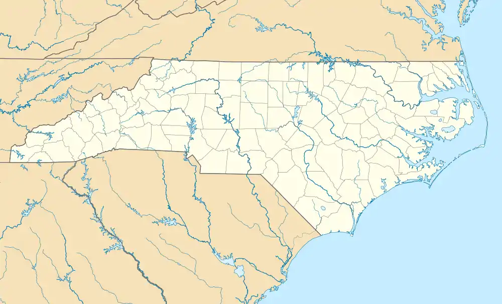
Hewitt, North Carolina | |
|---|---|
 Hewitt, North Carolina  Hewitt, North Carolina | |
| Coordinates: 35°18′32″N 83°38′52″W / 35.30889°N 83.64778°W | |
| Country | United States |
| State | North Carolina |
| County | Swain |
| Elevation | 1,929 ft (588 m) |
| Time zone | UTC-5 (Eastern (EST)) |
| • Summer (DST) | UTC-4 (EDT) |
| Zip Code(s) | 28713 |
| Area code | 828 |
| GNIS feature ID | 1020695[1] |
Hewitt is an unincorporated community in Swain County, North Carolina, United States. Hewitt is located along US 74, West of Bryson City and East of Topton.
A talc and limestone mine is located in Hewitt.[2]
References
- ↑ "Geographic Names Information System". United States Geological Survey. Retrieved January 31, 2008.
- ↑ Nantahala Talc and Limestone Mine, Mindat.org (retrieved 11 Sep, 2014)
External links
This article is issued from Wikipedia. The text is licensed under Creative Commons - Attribution - Sharealike. Additional terms may apply for the media files.
