Hill Top, Kentucky | |
|---|---|
 Hill Top  Hill Top | |
| Coordinates: 37°59′10″N 83°37′09″W / 37.98611°N 83.61917°W | |
| Country | United States |
| State | Kentucky |
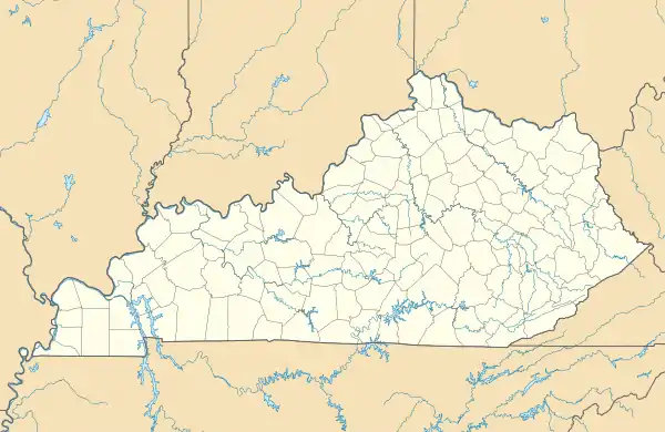
| County | Menifee |
| Elevation | 1,129 ft (344 m) |
| Time zone | UTC-5 (Eastern (EST)) |
| • Summer (DST) | UTC-4 (EDT) |
| Area code | 606 |
| GNIS feature ID | 2400783[1] |
Hill Top is an unincorporated community in Menifee County, Kentucky, United States. Hill Top is located on Kentucky Route 36 2.4 miles (3.9 km) north of Frenchburg.[2]
References
- ↑ "Hill Top". Geographic Names Information System. United States Geological Survey, United States Department of the Interior.
- ↑ State Primary Road System: Menifee County (PDF) (Map). Kentucky Transportation Cabinet. 2012. Retrieved June 28, 2012.
Municipalities and communities of Menifee County, Kentucky, United States | ||
|---|---|---|
| City | 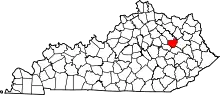 Location of Menifee County, Kentucky | |
| Unincorporated communities | ||
This article is issued from Wikipedia. The text is licensed under Creative Commons - Attribution - Sharealike. Additional terms may apply for the media files.