| Hiroshima Bay | |
|---|---|
| 広島湾 (Japanese) | |
.jpg.webp) Miyajima Island, Hiroshima Bay | |
 Hiroshima Bay | |
| Location | Inland Sea |
| Coordinates | 34°12′N 132°21′E / 34.200°N 132.350°E |
| Type | Bay |
| Surface area | 1,000 square kilometres (390 sq mi) |
| Average depth | 25 metres (82 ft) |
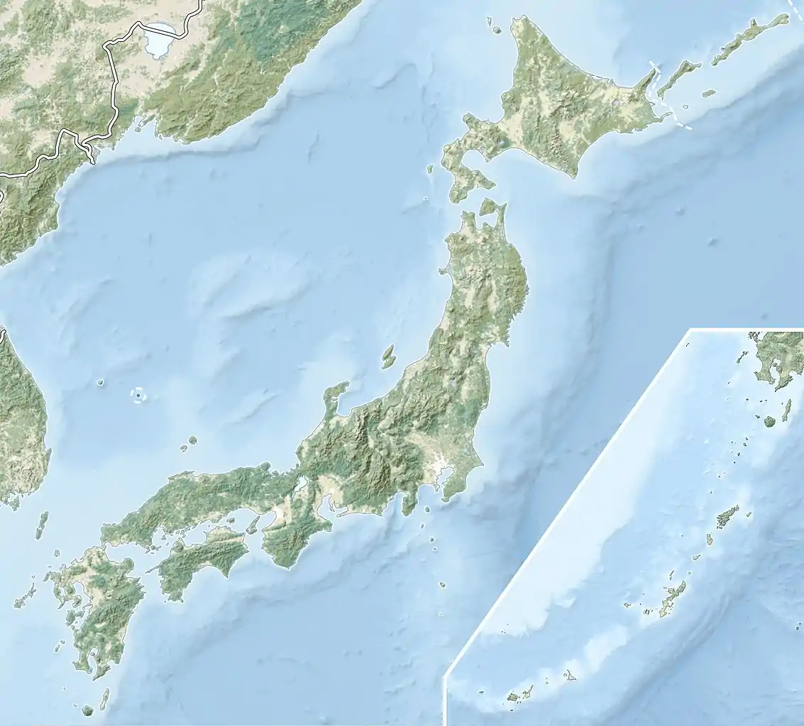
Hiroshima Bay (広島湾, Hiroshima-wan) is a bay in the Inland Sea, Japan.[1] Administratively, the bay is divided between Hiroshima and Yamaguchi Prefectures. The bay's shore is a Ria. Its surface area is about 1,000 square kilometres (390 sq mi), with a mean depth of 25 metres (82 ft).
Municipalities
Major rivers
- Kyōbashi River
- Motoyasu River
- Ōta River
- Oze River
- Tenma River
Major islands
- Kanawajima
- Tōgejima
- Ninoshima
- Enoshima
- Etajima
- Ōnasabijima (Ōnasamitō)
- Ogurokamijima
- Nomijima
- West Nomijima
- East Nomijima
- Ōkurokamishima
- Kurahashijima
- Nasakejima
- Atatajima
- Inokojima
- Itsukushima
- Nagashima
- Okinoshima
- Kabutojima
Trivia
Jaco Pastorius once threw his "Bass of Doom" (Fender Jazz Bass) into the Hiroshima Bay.
References
- ↑ Nussbaum, Louis-Frédéric. (2005). "Hiroshima Wan" in Japan Encyclopedia, p. 320, p. 320, at Google Books.
External links
 Media related to Hiroshima Bay at Wikimedia Commons
This article is issued from Wikipedia. The text is licensed under Creative Commons - Attribution - Sharealike. Additional terms may apply for the media files.