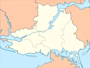
46°24′23″N 32°38′15″E / 46.40639°N 32.63750°E
Hladkivka
Гладківка | |
|---|---|
 Hladkivka  Hladkivka | |
| Coordinates: 46°24′23″N 32°38′15″E / 46.4064°N 32.6375°E | |
| Country | |
| Oblast | |
| Raion | Skadovsk Raion |
| Population | |
| • Total | 2,912 |
| Time zone | UTC+2 (EET) |
| • Summer (DST) | UTC+3 (EEST) |
| Postal Code | 75633 |
Hladkivka (Ukrainian: Гладківка) is a village in southern Ukraine, and is located in Skadovsk Raion of Kherson Oblast.
Demographics
In 1886, the population of the village was 2,178.[1]
In the 2001 Ukrainian census, the population was 2,910. Within it, 87.84% spoke Ukrainian as a native language, while 10.51% spoke Russian and 1.65% spoke a third language.[2]
History
The population suffered through the Second Holodomor in 1946-1947, with many dying of starvation.[3]
In 2022, the village was captured by Russian forces during the southern campaign of the Russian invasion of Ukraine,[4] and currently remains under occupation.
References
- ↑ "Февраль 1886 г. Снисок Изданиям Центральнaго Статистияческaго Комитета" (PDF). Wikimedia commons.
- ↑ "Кількість наявного населення по кожному сільському населеному пункту, Херсонська область (осіб)". State Statistics Service of Ukraine.
- ↑ "Голодомор-геноцид 1932–1933 рр. та голод 1946–1947, стор 325" (PDF). history.org.ua. Archived (PDF) from the original on 2016-03-07. Retrieved 2022-10-19.
- ↑ Clark, Mason; Barros, George; Stepanenko, Kateryna (2022-02-25). "Russian Offensive Campaign Assessment, February 25". Institute for the Study of War. Retrieved 2022-10-19.
Sources
- Погода в селі Гладківка weather.in.ua (Archived)
This article is issued from Wikipedia. The text is licensed under Creative Commons - Attribution - Sharealike. Additional terms may apply for the media files.