Holtzinger, Washington | |
|---|---|
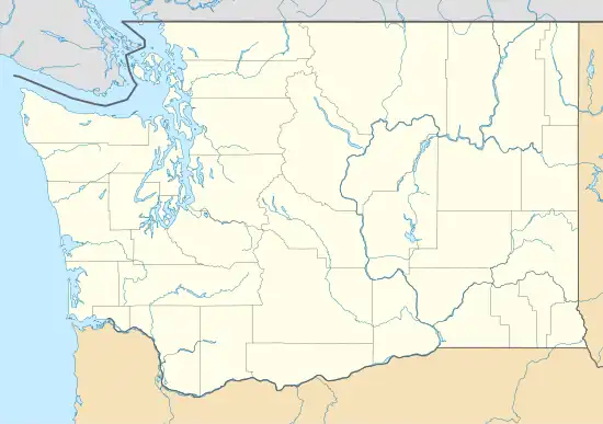
 Holtzinger, Washington Location of Holtzinger, Washington  Holtzinger, Washington Holtzinger, Washington (Washington (state)) | |
| Coordinates: 46°40′39″N 120°43′14″W / 46.6776246°N 120.7206271°W[1] | |
| Country | United States |
| State | Washington |
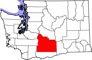
| County | Yakima |
| Elevation | 1,762 ft (537 m) |
| Time zone | UTC-8 (Pacific (PST)) |
| • Summer (DST) | UTC-7 (PDT) |
| ZIP code | 98947 |
| Area code | 509 |
| GNIS feature ID | 1512305[2] |
Holtzinger is an unincorporated community in Yakima County, Washington, United States, located approximately five miles northwest of Yakima.
History
The town was named Earle Spur in 1917 when a spur of the Cowiche branch of Northern Pacific Railway ran to the Earle Fruit Company Warehouse. In April 1927, the railroad renamed the town to Holtzinger after C. M. Holtzinger, the then current owner of the warehouse and the Holtzinger Company located in Yakima.[3]
References
- ↑ "Holtzinger". Geographic Names Information System. United States Geological Survey, United States Department of the Interior. Retrieved October 25, 2012.
- 1 2 "US Board on Geographic Names". United States Geological Survey. October 25, 2007. Retrieved January 31, 2008.
- ↑ "Station Roster Master List: Earle Spur". Northern Pacific Railway Historical Association. Retrieved October 25, 2012.
This article is issued from Wikipedia. The text is licensed under Creative Commons - Attribution - Sharealike. Additional terms may apply for the media files.
