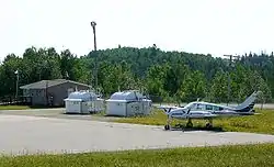
Hornepayne Municipal Airport | |||||||||||
|---|---|---|---|---|---|---|---|---|---|---|---|
 | |||||||||||
| Summary | |||||||||||
| Airport type | Public | ||||||||||
| Operator | Township of Hornepayne | ||||||||||
| Location | Hornepayne, Ontario | ||||||||||
| Opened | 1977 | ||||||||||
| Time zone | EST (UTC−05:00) | ||||||||||
| • Summer (DST) | EDT (UTC−04:00) | ||||||||||
| Elevation AMSL | 1,101 ft / 336 m | ||||||||||
| Coordinates | 49°11′35″N 084°45′34″W / 49.19306°N 84.75944°W | ||||||||||
| Map | |||||||||||
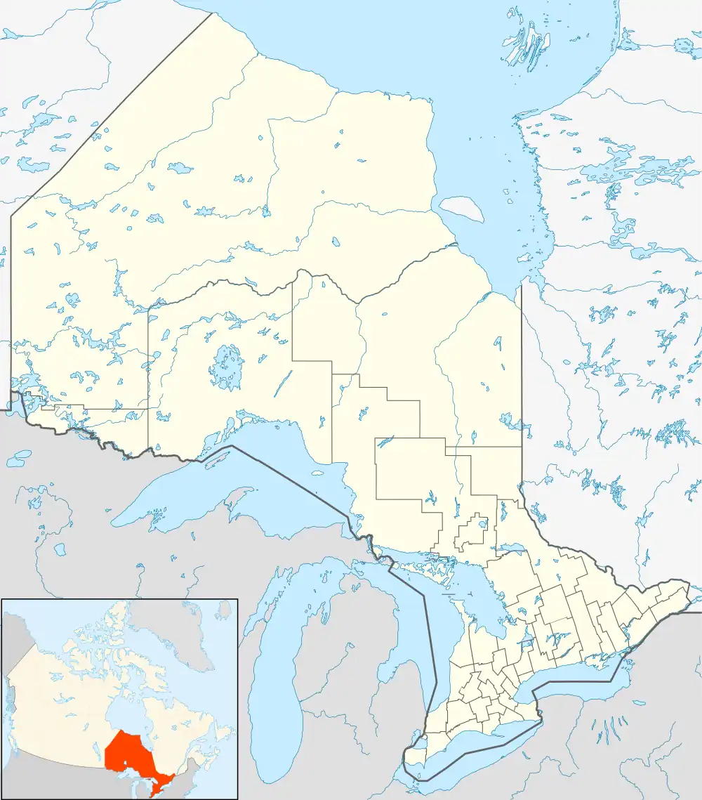 CYHN Location in Ontario | |||||||||||
| Runways | |||||||||||
| |||||||||||
Source: Canada Flight Supplement[1] | |||||||||||
Hornepayne Municipal Airport (IATA: YHN, ICAO: CYHN) is located 1.3 nautical miles (2.4 km; 1.5 mi) south southeast of Hornepayne, Ontario Canada. It was opened in 1977.[2]
See also
References
| By name | |
|---|---|
| By location indicator | |
| By province/territory | |
| By area | |
| National Airports System | |
| Related | |
| |
This article is issued from Wikipedia. The text is licensed under Creative Commons - Attribution - Sharealike. Additional terms may apply for the media files.