| Hurricane Run Tributary to Rocky Run | |
|---|---|
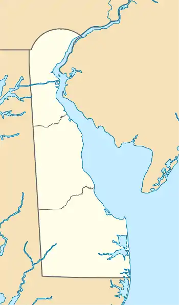 Location of Hurricane Run mouth  Hurricane Run (Rocky Run tributary) (the United States) | |
| Location | |
| Country | United States |
| State | Delaware |
| County | New Castle |
| Physical characteristics | |
| Source | Beaver Creek divide |
| • location | about 0.25 miles west of Devonshire, Delaware[1] |
| • coordinates | 39°49′40″N 075°32′50″W / 39.82778°N 75.54722°W[2] |
| • elevation | 372 ft (113 m)[1] |
| Mouth | Rocky Run |
• location | about 0.5 miles north of Tavistock, Delaware[3] |
• coordinates | 39°49′00″N 075°33′33″W / 39.81667°N 75.55917°W[2] |
• elevation | 226 ft (69 m)[3] |
| Discharge | |
| • location | Rocky Run |
| Basin features | |
| Progression | southwest |
| River system | Delaware River |
| Tributaries | |
| • left | unnamed tributaries |
| • right | unnamed tributaries |
| Bridges | Woodlawn Road |
Hurricane Run is a 1st order tributary to Rocky Run in New Castle County, Delaware.
Course
Hurricane Run rises about 0.25 miles west of Devonshire, Delaware,[1] and then flows southwest to join Rocky Run about 0.5 miles north of Tavistock, Delaware.[3]
See also
References
- 1 2 3 "Get Maps". USGS Topoview. US Geological Survey. Retrieved 10 December 2020.
- 1 2 "GNIS Detail – Hurricane Run". geonames.usgs.gov. US Geological Survey. Retrieved 10 December 2020.
- 1 2 3 "Get Maps". USGS Topoview. US Geological Survey. Retrieved 10 December 2020.
Dover (capital) | |
| Topics |
|
| Society |
|
| Cities | |
| Towns |
|
| Counties | |
This article is issued from Wikipedia. The text is licensed under Creative Commons - Attribution - Sharealike. Additional terms may apply for the media files.