| Hurst Hill | |
|---|---|
 | |
| Highest point | |
| Elevation | 317 m (1,040 ft) |
| Geography | |
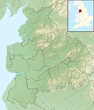 Hurst Hill Shown within Lancashire 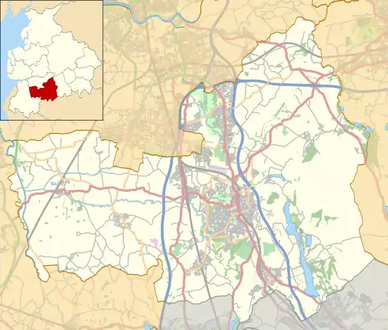 Hurst Hill Shown within Chorley Borough | |
| Location | Chorley, Lancashire, |
| OS grid | SD630179 |
| Topo map | OS Landranger 109 |
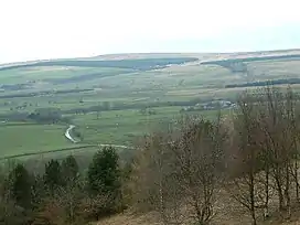
Hurst Hill is a location on Anglezarke Moor, within the West Pennine Moors of Lancashire, England. With a height of 317 metres (1,040 feet), the summit provides views towards the Irish Sea. It is located between Round Loaf and Pikestones, both of which are Neolithic remnants. It is probable that Hurst Hill (and nearby Grain Pole Hill) were vantage points for the ancient communities. No excavation work has taken place.
External links
53°39′23″N 2°33′41″W / 53.65628°N 2.56132°W
This article is issued from Wikipedia. The text is licensed under Creative Commons - Attribution - Sharealike. Additional terms may apply for the media files.