| Iglesia Basin | |
|---|---|
| Cuenca de Iglesia | |
 | |
| Coordinates | 30°20′00″S 69°20′00″W / 30.33333°S 69.33333°W |
| Etymology | Iglesia |
| Region | San Juan Province |
| Country | |
| State(s) | Iglesia Department |
| Cities | Rodeo |
| Characteristics | |
| On/Offshore | Onshore |
| Boundaries | Frontal Cordillera, Precordillera |
| Hydrology | |
| River(s) | Jáchal |
| Geology | |
| Plate | South American |
| Orogeny | Andean |
| Age | Neogene-Pleistocene |
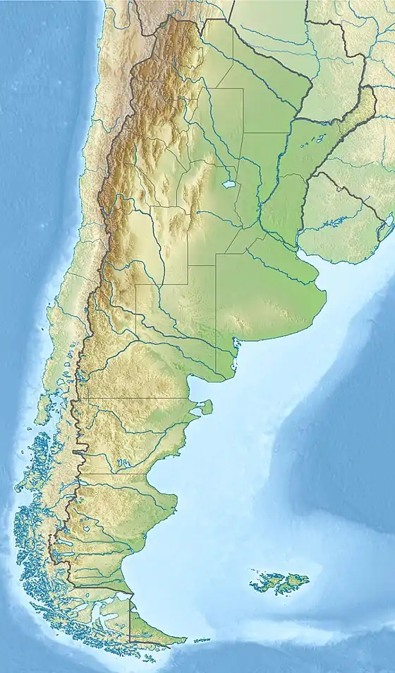
Iglesia Basin (Spanish: Cuenca de Iglesia) is a sedimentary basin located in northern San Juan Province, western Argentina. It is thought to be a piggyback basin.[1] Its sedimentary fill is of Neogene to Pleistocene age and has an estimated maximum thickness of 3.5 km.[1] There are hot springs in the eastern part of the basin.[1] The rock under the sedimentary fill is interpreted to be in part composed of plutonic intrusions belonging to the Tocota pluton, which in turn is a part of a larger group of plutonic intrusions known as the Colangüil Batholith.[2]
References
- 1 2 3 Podesta, Marcos; Ortiz, Gustavo; Orozco, Paola; Alvarado, Patricia; Fuentes, Facundo (2022). "The Iglesia basin (San Juan, Argentina), seismic interpretation, geometry basin, and implications for geothermal systems". Andean Geology. 49 (3): 327–344.
- ↑ Gonzales, Marcelo; Lince Klinger, Federico; Christiansen, Rodolfo; Clavel, Franco; Gianni, Guido; Gimenez, Mario (2022). "Heterogeneidades en el basamento de la cuenca de Iglesia evidenciadas por datos geofísicos". Revista de la Asociación Geológica Argentina (in Spanish). 79 (1): 90–105.
This article is issued from Wikipedia. The text is licensed under Creative Commons - Attribution - Sharealike. Additional terms may apply for the media files.
