Ilha de Santana | |
|---|---|
 Christmas party in Ilha de Santana (2016) | |
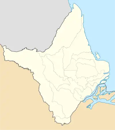
 Ilha de Santana Location in Brazil  Ilha de Santana Ilha de Santana (Brazil) | |
| Coordinates: 0°04′26″S 51°10′25″W / 0.0740°S 51.1736°W | |
| Country | |
| Region | North |
| State | Amapá |
| Municipality | Santana |
| Population (2010)[1] | |
| • Total | 2,689 |
| Time zone | UTC-3 |
Ilha de Santana is an island and district in the Brazilian municipality of Santana, in the state of Amapá. It is located in the Amazon River across the city of Santana. The island measures 2,005 hectares (4,950 acres).[2]
Overview
The island was settled by Portuguese and mestizos who were joined by the Tucuju Amerindians of Francisco Portilho de Melo's expedition. In 1753, Ilha de Santana became an official settlement by the order of Francisco Xavier de Mendonça Furtado, and dedicated to Saint Anne.[3] In 1940, a German U-boat was spotted near the island.[4] Ilha de Santana became a district of Santana in 1987.[3] In 2018, the islanders complained of neglect of the infrastructure on the island by the municipality.[5]
The island consists of 1,008 hectares (2,490 acres) of highlands. The remainder are floodplains of a more recent history.[2] Ilha de Santana can be reached by ferry from Santana.[6]
References
- ↑ Instituto Brasileiro de Geografia e Estatística (IBGE) (16 November 2011). "Sinopse por setores". Retrieved 1 April 2021.
- 1 2 Moacir Azevedo Valente (1998). "SOLOS DA ILHA DE SANTANA, MUNICÍPIO DE SANTANA, ESTADO DO AMAPÁ" (PDF) (in Portuguese and English). Belém: Embrapa: 6–7.
{{cite journal}}: Cite journal requires|journal=(help) - 1 2 "Santana". IBGE (in Portuguese). Retrieved 2 April 2021.
- ↑ "Os nazistas queriam criar uma "Guiana Alemã" no Amapá". Seles Nafes (in Portuguese). 22 May 2018. Retrieved 2 April 2021.
- ↑ "O abandono da Ilha de Santana". Seles Nafes (in Portuguese). Retrieved 2 April 2021.
- ↑ "Travessia para a Ilha de Santana passa a ser feita por duas balsas". Government of Amapá (in Portuguese). Retrieved 2 April 2021.