| Imong River | |
|---|---|
 Imong River sedimentation at Fena Lake Reservoir | |
 | |
| Location | |
| Country | Guam |
| Physical characteristics | |
| Mouth | |
• coordinates | 13°20′19″N 144°41′51″E / 13.3386111°N 144.6975000°E |
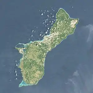
The Imong River is a short river in United States territory of Guam.[1] Its source on the ridgeline between Mount Jumullong Manglo and Mount Bolanos flows northeast within the boundaries of both Talofofo and the Navy's Ordnance Annex into Fena Lake Reservoir.
See also
References
This article is issued from Wikipedia. The text is licensed under Creative Commons - Attribution - Sharealike. Additional terms may apply for the media files.