Indaw (ဝဵင်းဢၢင်းတေႃႇ) | |
|---|---|
Town | |
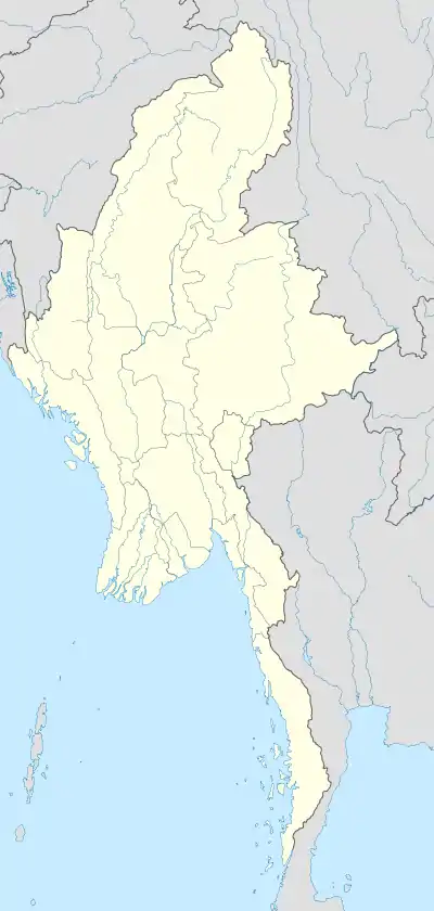 Indaw (ဝဵင်းဢၢင်းတေႃႇ) Location of Indaw, Burma | |
| Coordinates: 24°13′17″N 96°08′36″E / 24.22139°N 96.14333°E | |
| Country | |
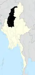
| Division | |
| District | Katha |
| Township | Indaw |
| Elevation | 387 ft (118 m) |
| Time zone | UTC+6.30 (MST) |
Indaw (Shan: ဝဵင်းဢၢင်းတေႃႇ) is a town in northern Burma, in Sagaing Division, Katha District, Indaw Township. It is located about 2 km south-east of Indaw Lake. The rail junction at Naba is located about 6 km to the north-east of the town.
History
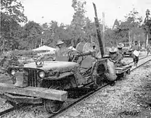
In 1944 during World War II, a major campaign was fought in Indaw between Japanese and British forces.[1] The Japanese had two airfields at Indaw, the Indaw West strip [2] and the Indaw Lake strip.[3]
Notes
- ↑ Ooi, Keat Gin (2004) "Chindits" south-east Asia: A historical encyclopedia, from Angkor Wat to East Timor ABC-CLIO, Santa Barbara, California, p. 341, ISBN 1-57607-770-5
- ↑ "Indaw West - Airfield Id:3954" Archived 2011-07-15 at the Wayback Machine Pacific War Airfields Project
- ↑ "Indaw (Indaw Lake) - Airfield Id:3953" Archived 2011-07-15 at the Wayback Machine Pacific War Airfields Project
External links
- "Indaw Map — Satellite Images of Indaw", Maplandia
.svg.png.webp)
This article is issued from Wikipedia. The text is licensed under Creative Commons - Attribution - Sharealike. Additional terms may apply for the media files.