Iowa Township | |
|---|---|
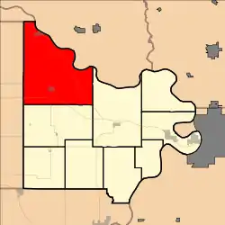
 Location in Doniphan County | |
| Coordinates: 39°55′55″N 095°17′01″W / 39.93194°N 95.28361°W | |
| Country | United States |
| State | Kansas |
| County | Doniphan |
| Area | |
| • Total | 84.35 sq mi (218.46 km2) |
| • Land | 83.46 sq mi (216.17 km2) |
| • Water | 0.88 sq mi (2.29 km2) 1.05% |
| Elevation | 974 ft (297 m) |
| Population (2000) | |
| • Total | 1,694 |
| • Density | 20.3/sq mi (7.8/km2) |
| GNIS feature ID | 0472806 |
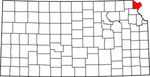
Iowa Township is a township in Doniphan County, Kansas, USA. As of the 2000 census, its population was 1,694.
Geography
Iowa Township covers an area of 84.35 square miles (218.5 km2) and contains two incorporated settlements: Highland and White Cloud. According to the USGS, it contains six cemeteries: Fanning, Highland, Iola, Iowa Point, Martin and Olive Branch.
The streams of Cedar Creek, Coon Creek, Fox Creek, Mill Creek, Mission Creek, Pennell Creek, Squaw Creek, Striker Branch and Wolf River run through this township.
History
Iowa Township was organized in 1854. It was named for the Iowa people who lived there on the reservation.[1]
References
- ↑ Gray, Patrick Leopoldo (1905). Gray's Doniphan County History: A Record of the Happenings of Half a Hundred Years. Roycroft Press. pp. 29.
External links
This article is issued from Wikipedia. The text is licensed under Creative Commons - Attribution - Sharealike. Additional terms may apply for the media files.
