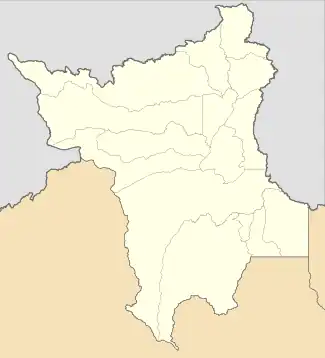
Iracema | |
|---|---|
 Flag  Coat of arms | |
 Iracema Location in Brazil  Iracema Iracema (Brazil) | |
| Coordinates: 2°10′55″N 61°2′27″W / 2.18194°N 61.04083°W | |
| Country | Brazil |
| Region | North |
| State | Roraima |
| Government | |
| • Mayor | Jairo Andre Ribeiro Sousa (PMDB) |
| Area | |
| • Total | 14,413 km2 (5,565 sq mi) |
| Population (2020 [1]) | |
| • Total | 12,296 |
| • Density | 0.85/km2 (2.2/sq mi) |
| Time zone | UTC−4 (AMT) |
Iracema (Portuguese pronunciation: [iɾaˈsẽmɐ]) is a municipality located in the midwest of the state of Roraima in Brazil. Its population is 12,296 (2020) and its area is 14,413 km².[2] Iracema started as an agricultural community. It became an independent municipality in 1994.[3] The town is located on the BR-174 highway, and is known for its waterfall.[4]
References
- ↑ IBGE 2020
- ↑ "IBGE | Cidades | Roraima | Iracema". cidades.ibge.gov.br. Retrieved 2016-06-15.
- ↑ "Iracema". IBGE (in Portuguese). Retrieved 15 April 2021.
- ↑ "Cachoeiras na Amazônia: deleite para os olhos e purificação para as almas". OLiberal (in Portuguese). Retrieved 15 April 2021.
Wikimedia Commons has media related to Iracema (Roraima).
This article is issued from Wikipedia. The text is licensed under Creative Commons - Attribution - Sharealike. Additional terms may apply for the media files.
