| Isla Gorge National Park Queensland | |
|---|---|
 | |
 Isla Gorge National Park | |
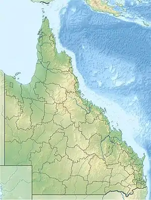
| Coordinates | 25°10′10″S 149°56′42″E / 25.16944°S 149.94500°E |
| Established | 1964 |
| Area | 78.5 km2 (30.3 sq mi) |
| Managing authorities | Queensland Parks and Wildlife Service |
| Website | Isla Gorge National Park |
| See also | Protected areas of Queensland |
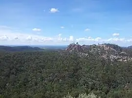
Isla Gorge is a national park in Queensland, Australia, 415 km northwest of Brisbane, gazetted in 1964. It contains a rest area with toilets and a camping area, situated along the Leichhardt Highway just south of Theodore.
The national park is upon the traditional Aboriginal lands of the Kongabulla Clan of Iman country,[1] the carpet snake people, and Wulli Wulli country.[2]
The north-western section was expanded in 1990 to include the hand-laid rock road which once ran from Rockhampton to Roma as part of the wool run.[3]
See also
References
This article is issued from Wikipedia. The text is licensed under Creative Commons - Attribution - Sharealike. Additional terms may apply for the media files.