| Mitirinchi Island National Park Queensland | |
|---|---|
 Mitirinchi Island National Park | |
| Coordinates | 12°24′21″S 143°29′17″E / 12.40583°S 143.48806°E |
| Established | 1989 |
| Area | 20,000 m2 (23,920 sq yd) |
| Managing authorities | Queensland Parks and Wildlife Service |
| Website | Mitirinchi Island National Park |
| See also | Protected areas of Queensland |
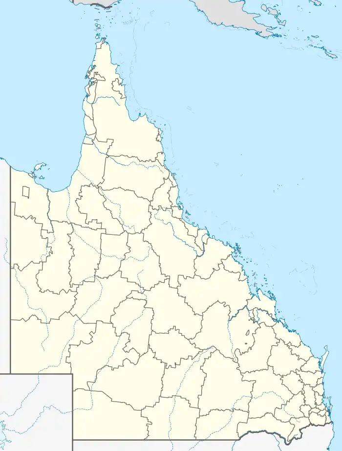
Mitirinchi Island (meaning "Soul Island" in Kuuku Ya'u, a sacred site) is a national park in the Great Barrier Reef Marine Park Queensland, Australia, 1,947 km (1,210 mi) northwest of Brisbane. It is situated about 30 km (19 mi) north-east of Kutini-Payamu National Park and Lockhart River in the Cape Weymouth area near Portland Roads.[1]
Mitirinchi Island is closed to visitors due to its status as a significant seabird breeding site.[2] It is one of only three recorded breeding sites in the northern Great Barrier Reef for great frigatebirds, and is also home to a large breeding colony of black noddies.[3]
See also
References
- ↑ "About | Mitirinchi Island National Park (CYPAL)". Parks and forests | Department of Environment and Science, Queensland. 25 July 2011. Retrieved 26 April 2021.
- ↑ https://parks.des.qld.gov.au/__data/assets/pdf_file/0017/160235/mitirinchi-raa.pdf
- ↑ "Mitirinchi Island National Park (CYPAL)". Parks and forests | Department of Environment and Science, Queensland. 25 July 2011. Retrieved 26 April 2021.
This article is issued from Wikipedia. The text is licensed under Creative Commons - Attribution - Sharealike. Additional terms may apply for the media files.