Itaporanga | |
|---|---|
 Flag  Coat of arms | |
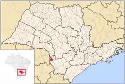 Location in São Paulo state | |
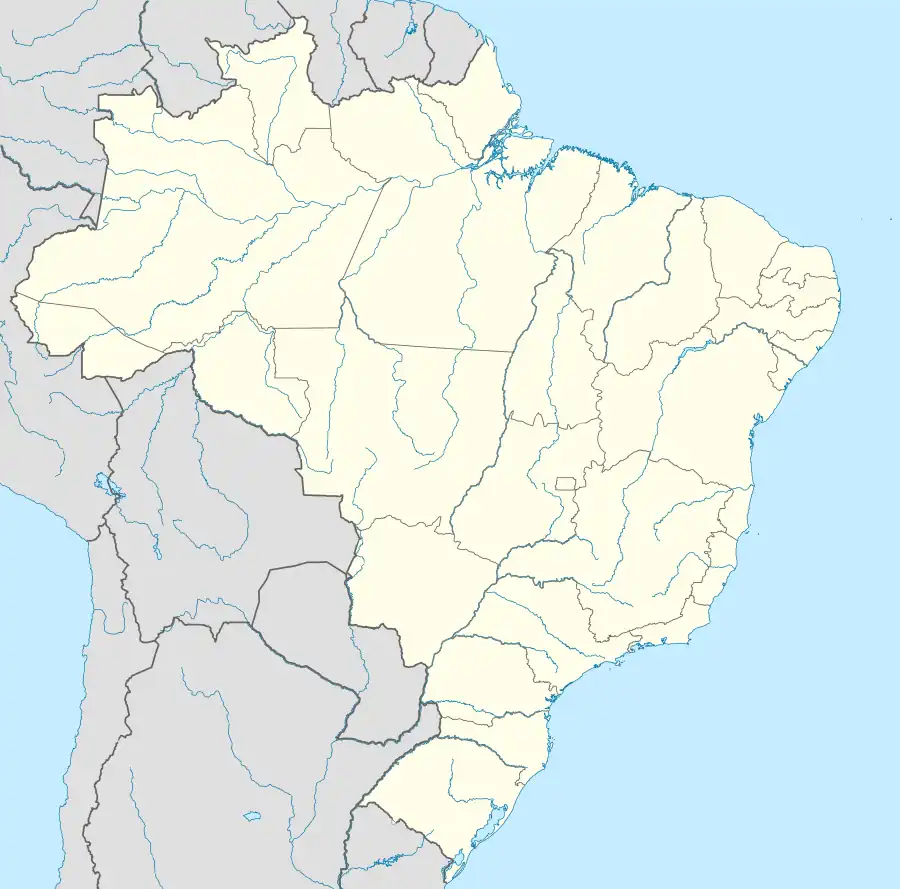 Itaporanga Location in Brazil | |
| Coordinates: 23°42′28″S 49°29′23″W / 23.70778°S 49.48972°W | |
| Country | Brazil |
| Region | Southeast |
| State | São Paulo |
| Area | |
| • Total | 508 km2 (196 sq mi) |
| Population (2020 [1]) | |
| • Total | 15,173 |
| • Density | 30/km2 (77/sq mi) |
| Time zone | UTC−3 (BRT) |
Itaporanga is a municipality in the state of São Paulo in Brazil. The population is 15,173 (2020 est.) in an area of 508 km².[2] The elevation is 589 m. This place name comes from the Tupi language and means "beautiful stone" (itá = "stone", porang = "beautiful").
References
This article is issued from Wikipedia. The text is licensed under Creative Commons - Attribution - Sharealike. Additional terms may apply for the media files.