Itatinga | |
|---|---|
 | |
 Flag  Coat of arms | |
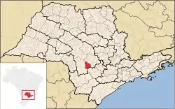 Location in São Paulo state | |
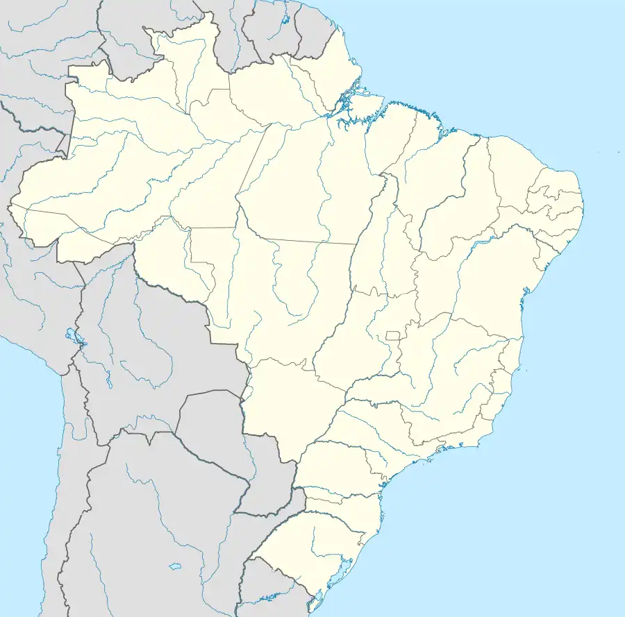 Itatinga Location in Brazil | |
| Coordinates: 23°6′6″S 48°36′57″W / 23.10167°S 48.61583°W | |
| Country | Brazil |
| Region | Southeast |
| State | São Paulo |
| Area | |
| • Total | 980 km2 (380 sq mi) |
| Population (2020 [1]) | |
| • Total | 20,921 |
| • Density | 21/km2 (55/sq mi) |
| Time zone | UTC−3 (BRT) |
.jpg.webp)
Brazilian church of Abadia de Nossa Senhora da Assumpção.
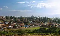
Itatinga is a municipality in the state of São Paulo in Brazil. The population is 20,921 (2020 est.) in an area of 980 km2.[2] The elevation is 845 m. Its name comes from the Tupi language and means "white stone".
References
This article is issued from Wikipedia. The text is licensed under Creative Commons - Attribution - Sharealike. Additional terms may apply for the media files.