Ittigi | |
|---|---|
Village | |
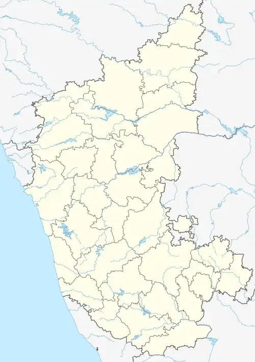 Ittigi Location in Karnataka, India  Ittigi Ittigi (India) | |
| Coordinates: 14°57′06″N 76°05′41″E / 14.951661°N 76.094718°E | |
| Country | |
| State | Karnataka |
| District | Vijayanagara |
| Taluk | Hoovina Hadagali |
| Government | |
| • Body | Grama panchayath |
| Area | |
| • Total | 29.43 km2 (11.36 sq mi) |
| Elevation | 574 m (1,883 ft) |
| Population (2011) | |
| • Total | 7,636 [1] |
| Languages | |
| • Official | Kannada |
| Time zone | UTC+5:30 (IST) |
| PIN | 583220 |
| Vehicle registration | KA-35 |
Ittigi is a village in the Hadagali taluk of Vijayanagara district in the state of Karnataka, India. As per census 2011, its location code number is 604639. It is located off Hosapete-Shivamogga Highway, 57 kilometres (35 mi) southwest of Hosapete. It is 22 km from its taluk headquarter, Hoovina Hadagali.
References
- ↑ "Census Data Handbook undivided Ballari 2011" (PDF). Retrieved 18 August 2023.
This article is issued from Wikipedia. The text is licensed under Creative Commons - Attribution - Sharealike. Additional terms may apply for the media files.