Ivankovo | |
|---|---|
| Municipality of Ivankovo Općina Ivankovo | |
 | |
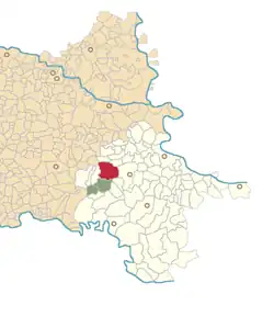 | |
 Ivankovo Location in Croatia 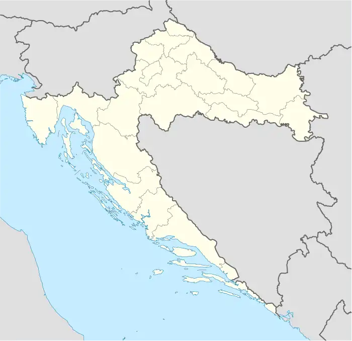 Ivankovo Ivankovo (Croatia) 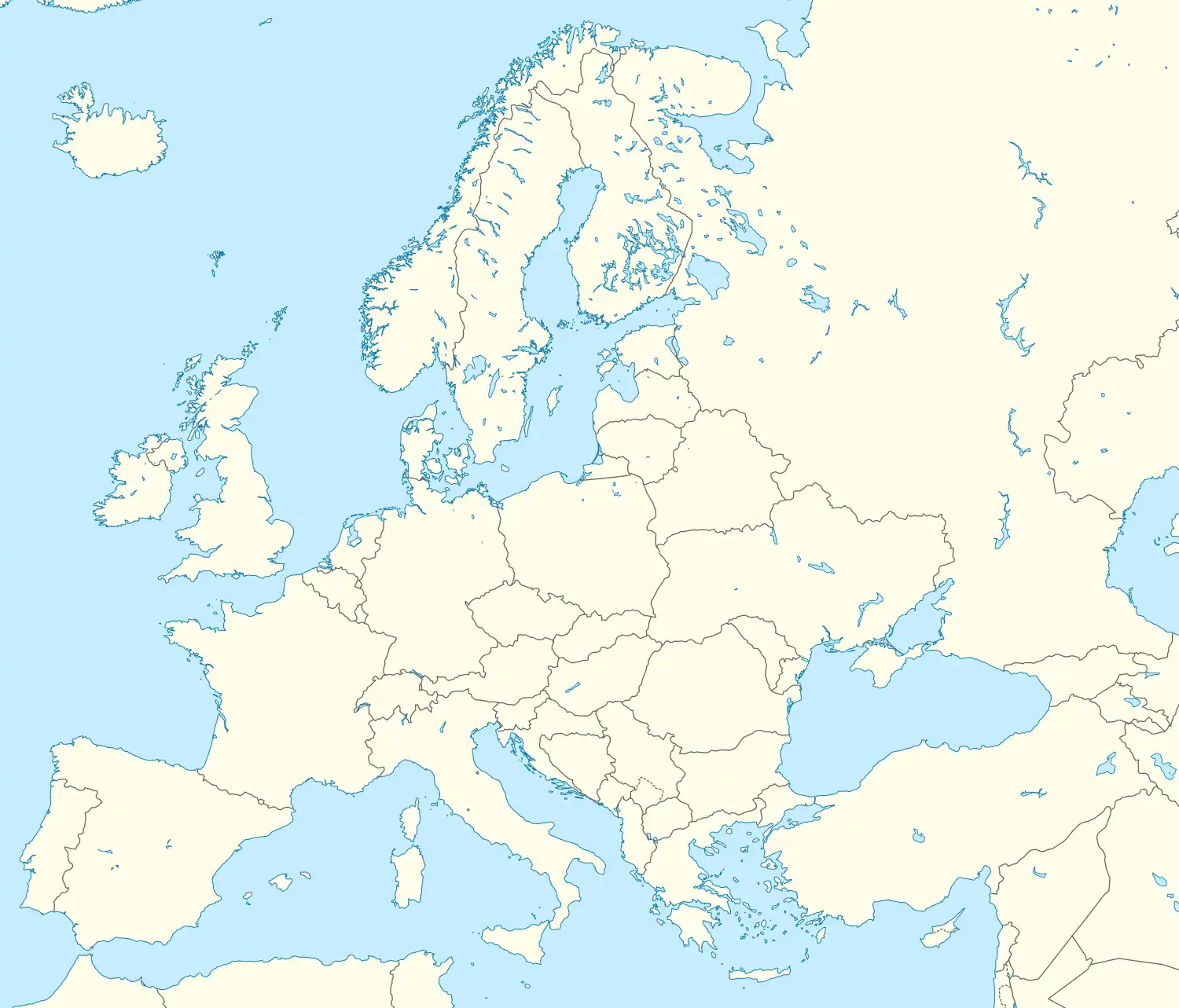 Ivankovo Ivankovo (Europe) | |
| Coordinates: 45°17′N 18°41′E / 45.283°N 18.683°E | |
| Country | |
| County | |
| Area | |
| • Municipality | 103.6 km2 (40.0 sq mi) |
| • Urban | 54.6 km2 (21.1 sq mi) |
| Population (2021)[2] | |
| • Municipality | 6,543 |
| • Density | 63/km2 (160/sq mi) |
| • Urban | 5,076 |
| • Urban density | 93/km2 (240/sq mi) |
| Time zone | UTC+1 (CET) |
| • Summer (DST) | UTC+2 (CEST) |
| Postal code | 32281 |
| Area code | +385 32 |
| Vehicle registration | VK |
| Website | opcina-ivankovo |
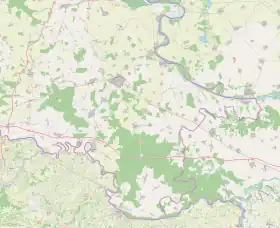
Ivankovo (Hungarian: Ivánkaszentgyörgy) is a village and a municipality in the Vukovar-Syrmia County, Slavonia in Croatia. It is located approximately 10 kilometres (6 miles) west of Vinkovci.
The total population is 8,006 (census 2011), in the following settlements:[3]
In the 2011 census, of the 8,006 inhabitants, 99.66% were Croats.[4]
See also
References
- ↑ Register of spatial units of the State Geodetic Administration of the Republic of Croatia. Wikidata Q119585703.
- ↑ "Population by Age and Sex, by Settlements, 2021 Census". Census of Population, Households and Dwellings in 2021. Zagreb: Croatian Bureau of Statistics. 2022.
- ↑ "Population by Age and Sex, by Settlements, 2011 Census: Ivankovo". Census of Population, Households and Dwellings 2011. Zagreb: Croatian Bureau of Statistics. December 2012.
- ↑ "Population by Ethnicity, by Towns/Municipalities, 2011 Census: County of Vukovar-Sirmium". Census of Population, Households and Dwellings 2011. Zagreb: Croatian Bureau of Statistics. December 2012.
Subdivisions of Vukovar-Syrmia County | ||
|---|---|---|
| Towns |  Coat of arms of Vukovar-Srijem County | |
| Municipalities | ||
Villages of Vukovar-Syrmia County | ||
|---|---|---|
| Villages administered as part of cities |  | |
| Villages serving as municipal seat (other villages in municipality) | ||
This article is issued from Wikipedia. The text is licensed under Creative Commons - Attribution - Sharealike. Additional terms may apply for the media files.