| Iwade | |
|---|---|
 The Woolpack Inn, Iwade | |
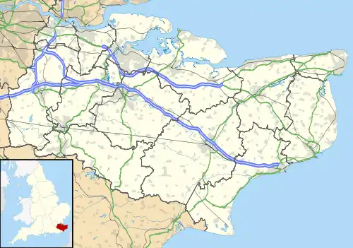
 Iwade Location within Kent | |
| Population | 3,087 (2011 Census)[1] |
| District | |
| Shire county | |
| Region | |
| Country | England |
| Sovereign state | United Kingdom |
| Post town | SITTINGBOURNE |
| Postcode district | ME9 |
| Dialling code | 01795 |
| UK Parliament | |
Iwade /ˈaɪˌweɪd/[2] is a village and civil parish 2 miles (3.2 km) north of the town of Sittingbourne in the English county of Kent.
History
Iwade was established in the late Medieval period, when it was a settlement linking Watling Street to the coast via Key Street (a street towards a Quay). A moated dwelling is believed to have existed here during the 13th to 15th centuries.[3] According to Edward Hasted, in 1798 the manor of Warde (Iwade) was within the hundred of Teynham. It had sixteen houses, and about 60 or 70 inhabitants.[4]
The village lies on the former route of the A249 road, a major road from Maidstone to the Isle of Sheppey. A bypass was constructed in 1992, and improved again in 2006 during construction of the Sheppey Crossing.[5][6] Iwade is the nearest settlement to Swale railway station.[7]
In 2014, a prehistoric henge was discovered during the development of new homes. It is believed to date from around 6000BC and is 30 metres (98 ft) in diameter.[8]
Facilities
Iwade has a village hall and a public house (The Woolpack).[9] The village church is dedicated to All Saints and was established around the 13th century. It was restored in 1874, with a south porch being added in 1893. The church has been a Grade I listed building since 1967.[10] It is within the diocese of Canterbury, and deanery of Sittingbourne.[4]
The Sittingbourne Speedway track is close to Iwade. It offers speedway training facilities for riders, and has been the base of the speedway team Sittingbourne Crusaders who raced in the Conference League.[11] To the north of the village is a Grade II listed Heavy Anti-aircraft gunsite used in World War II. It is one of only nine such sites in the country still existing in its original state, and one of two in Kent.[12]
References
- ↑ "Civil Parish population 2011". Neighbourhood Statistics. Office for National Statistics. Retrieved 21 September 2016.
- ↑ "The 40 Kent town names we have all been pronouncing wrong". Kent Live. Retrieved 3 March 2020.
- ↑ Later Medieval Kent, 1220-1540. Boydell & Brewer. 2010. p. 72. ISBN 978-0-851-15584-5.
- 1 2 Hasted, Edward (1799). "Parishes". The History and Topographical Survey of the County of Kent. Institute of Historical Research. 6: 203–206. Retrieved 21 October 2019.
- ↑ "The A249 Iwade Bypass Order 1992". www.legislation.gov.uk.
- ↑ "The A249 Trunk Road (Iwade Bypass to Queenborough Improvement) (24 Hours Clearway) Order 2006". www.legislation.gov.uk.
- ↑ "Swale". Kent Community Rail Partnership. Retrieved 3 March 2020.
- ↑ Gray, Andy (27 August 2014). "Neolithic henge unearthed in Iwade on site of new housing estate off Sheppey Way by SWAT Archaeology". Kent Online. Retrieved 3 March 2020.
- ↑ "The Woolpack". Archived from the original on 17 August 2013. Retrieved 19 March 2014.
- ↑ Historic England. "Details from listed building database (1069380)". National Heritage List for England. Retrieved 3 March 2020.
- ↑ "Romford bombers back on track". Romford Recorder. 21 May 2016. Retrieved 3 March 2020.
- ↑ Historic England. "Details from listed building database (1020389)". National Heritage List for England. Retrieved 3 March 2020.