| Jacks Creek | |
|---|---|
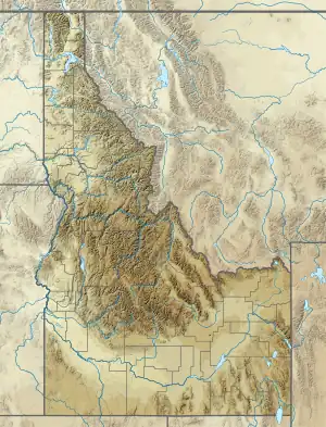 Location of the mouth of Jacks Creek in Idaho  Jacks Creek (Bruneau River tributary) (the United States) | |
| Location | |
| Country | United States |
| State | Idaho |
| County | Owyhee County, Idaho |
| Physical characteristics | |
| Source | |
| • location | southwest of Bruneau, Owyhee County, Idaho |
| • coordinates | 42°47′13″N 115°58′42″W / 42.78694°N 115.97833°W[1] |
| • elevation | 2,779 ft (847 m)[2] |
| Mouth | Bruneau River |
• location | C. J. Strike Reservoir, Owyhee County, Idaho |
• coordinates | 42°54′02″N 115°52′16″W / 42.90056°N 115.87111°W[1] |
• elevation | 2,457 ft (749 m)[1] |
| Length | 15 mi (24 km)[3] |
Jacks Creek is a 15-mile (24 km) long[3] tributary of the Bruneau River in Owyhee County, Idaho. Beginning at the confluence of Big Jacks Creek and Little Jacks Creek at an elevation of 2,779 feet (847.0 m)[2] southwest of Bruneau, it flows generally northeast to its mouth at C. J. Strike Reservoir,[4] at an elevation of 2,457 feet (748.9 m).[1] It was named after Jack Turner, a rancher who settled the area in 1869.[1]
See also
References
- 1 2 3 4 5 "Jacks Creek". Geographic Names Information System. United States Geological Survey, United States Department of the Interior. March 1, 1991. Retrieved July 16, 2013.
- 1 2 Source elevation derived from Google Earth search using GNIS source coordinates.
- 1 2 "National Hydrography Dataset". United States Geological Survey. Retrieved July 16, 2013.
- ↑ Idaho Road and Recreation Atlas (Map) (2nd ed.). 1:250,000. Benchmark Maps. 2010. p. 72. ISBN 978-0-929591-06-3. OCLC 567571371.
This article is issued from Wikipedia. The text is licensed under Creative Commons - Attribution - Sharealike. Additional terms may apply for the media files.